GUIDES & KNOWLEDGE · AIRFRAME INSPECTION
Drone Inspection Capture vs Condition Reporting: What is the Difference?
By Ben Price, Managing Director, Airframe Drone Services
Distinguishing between drone-based data capture and professional condition reporting is essential for effective asset management. This guide outlines how aerial data supports your project without replacing specialist engineering judgement.
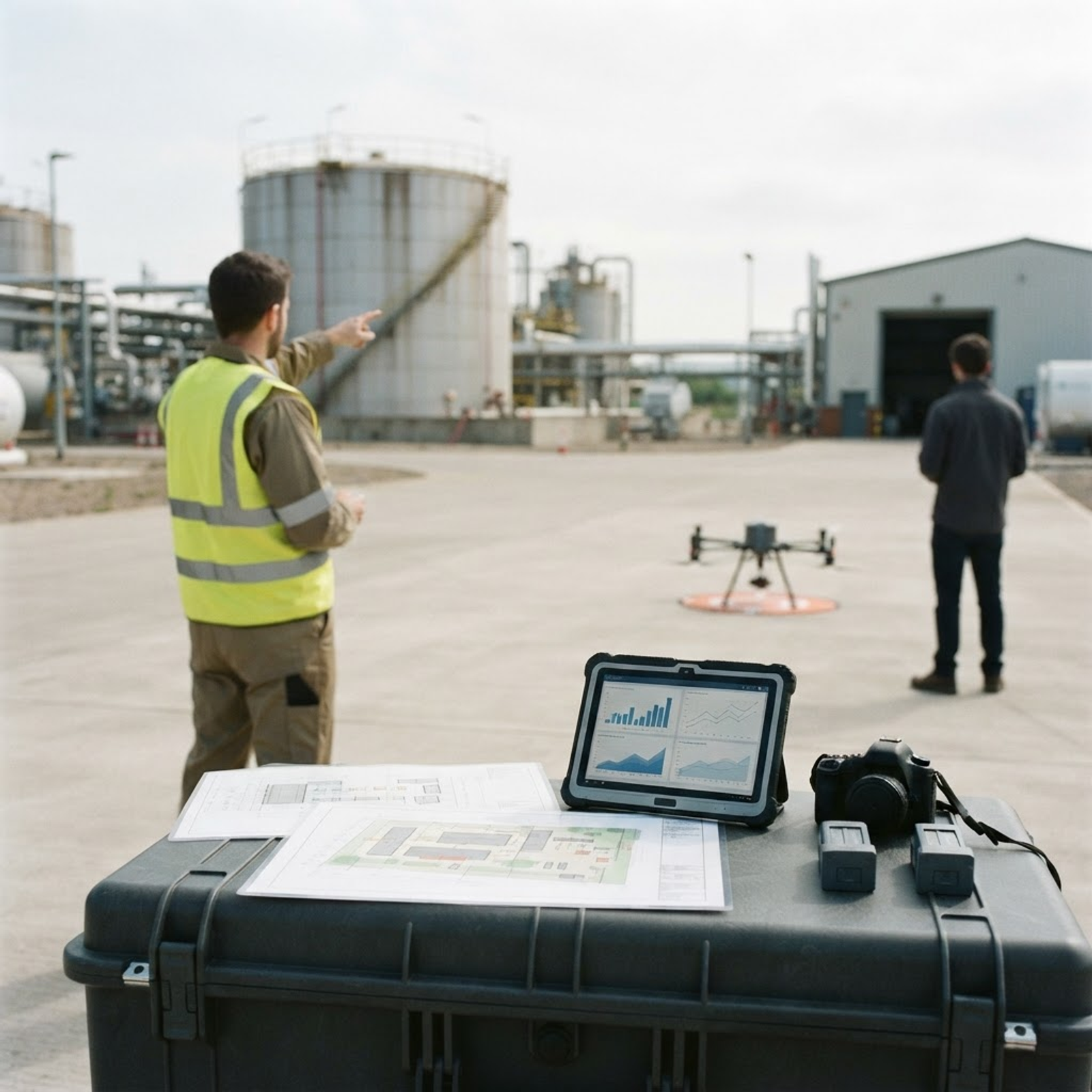
When managing assets like commercial buildings, solar arrays, or infrastructure, the line between raw data collection and professional diagnosis is often misunderstood. Organisations frequently use aerial technology to improve safety and efficiency, yet confusion persists regarding what a drone inspection actually provides. It is common to assume that an inspection service includes a formal condition report or recommended maintenance steps. However, these two activities serve fundamentally different purposes in a project workflow. Drone-based inspection is a specialist data capture activity.
Its objective is to provide high-resolution visual and thermal evidence of an asset, allowing surveyors, engineers, or thermographers to perform their assessment from the ground. By separating the technical capture process from the interpretive reporting stage, organisations can ensure they commission the right resources for their specific needs. Understanding this distinction is vital for commissioning professional services, maintaining data integrity, and ensuring your project remains within clear professional and safety boundaries.
The Purpose of Drone-Based Data Capture
The primary role of a drone operator is to act as a specialist data collector. An Airframe Inspection service uses high-resolution visual and thermal sensors to capture detailed imagery of roofs, facades, towers, bridges, and other complex structures. By replacing traditional access methods like scaffolding, mobile elevated work platforms, or rope access, drones allow for close-range visual inspection data to be gathered efficiently.
This approach removes the need for personnel to work at height, significantly reducing the risk associated with inspecting and monitoring critical assets. You can find more on this in our guide to modernising infrastructure maintenance.
The imagery obtained during these flights is processed into an organised, indexed dataset. Unlike an unsorted collection of raw files, a structured capture process ensures that every photograph is labelled by location, elevation, and reference point. This allows your team, whether they are maintenance contractors, internal engineering staff, or insurance assessors, to navigate the asset digitally with precision. The service is designed to provide the foundational evidence required for an informed professional assessment, rather than the assessment itself.
Defining the Condition Report
A condition report is a professional document that evaluates the structural integrity, maintenance requirements, or operational status of an asset. This process requires the domain-specific expertise of a chartered surveyor, structural engineer, or specialist thermographer. These professionals must apply their training to interpret what is visible in the data, identify defects, evaluate risks, and make recommendations for repair or capital investment. Their role is to provide the accountability and diagnostic expertise that raw imagery alone cannot offer.
While drone data provides the high-quality evidence needed to inform these reports, it does not substitute for the professional qualification required to produce them. When a surveyor uses drone imagery, they are utilising a tool to access areas that would otherwise be costly or dangerous to reach.
The accountability for the final diagnosis, maintenance schedule, or repair priority remains firmly with the professional who interprets the imagery, not the operator who captured it. More detail on how to align these workflows can be found in our article on integrating drone inspection data.
Maintaining Professional Boundaries
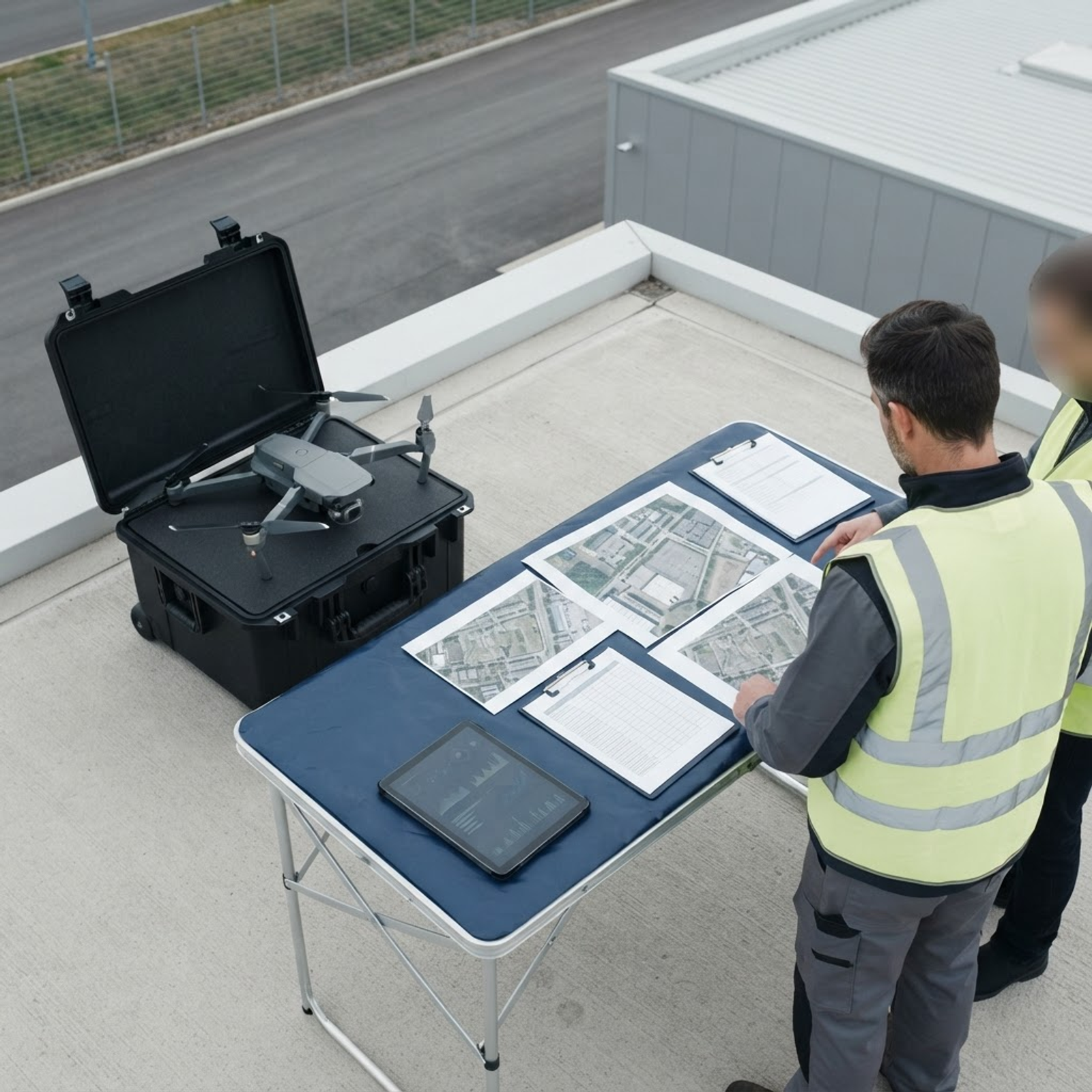
Airframe is a specialist data capture operator that does not produce condition reports, defect assessments, or professional recommendations. The service is focused on delivering the raw evidence, visual sets, thermal frames, and 3D models, formatted for use in your internal maintenance planning or insurance submissions. This separation avoids any conflict of interest and ensures that the drone operator provides an objective, impartial record of the site, rather than acting as a diagnostic consultant.
The delivery format is specifically designed to facilitate your internal workflows. By providing indexed imagery tied to specific reference points, the service ensures your technical teams can identify relevant features, such as damage or maintenance requirements, without needing to perform risky manual inspections at height. You can review the practical limitations and scope of this capture process in our guide on planning drone inspection capture.
Regulatory and Data Protection Standards
Any operation involving drones requires strict adherence to regulations. Airframe is a CAA Registered Drone Operator and all missions are conducted by CAA-qualified pilots. This regulatory focus is essential for commercial asset inspection, as it provides the assurance that your data capture is conducted legally and safely within the UK aviation environment.
Data protection is also a priority. Organisations using drones for commercial purposes are controllers for any personal data that the drone captures and must comply with data protection law. Professional operators address this through documented procedures, such as beginning recording at altitude to prevent the unintended filming of private property or individuals, thereby minimising the risk of collateral intrusion.
Integrating Aerial Data into Professional Workflows
The integration of aerial data into professional surveying has changed how assets are managed. By combining the precision of modern drone platforms with the expertise of chartered professionals, organisations can achieve higher standards of maintenance and safety. Aerial capture provides the baseline; the subsequent analysis by qualified professionals turns that data into actionable maintenance strategies. Whether for construction, infrastructure, or real estate, understanding this division of labour ensures that every project benefits from both high-quality data and professional accountability.
TALK TO AIRFRAME
Discuss your project with Airframe.
RELATED INSIGHTS
Keep reading
DRONE INDUSTRY NEWS · INSPECTION
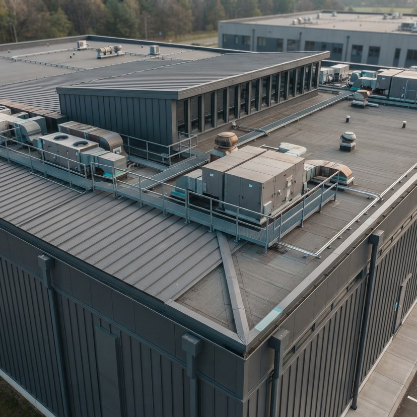
Commercial Roof Inspections by Drone
Drones transform commercial roof inspections by providing detailed aerial visual and thermal imagery without the need for traditional scaffolding or access equipment.
8 Nov 2026 · 3 min readRead
TECHNOLOGY & EQUIPMENT · INSPECTION
Choosing Between DJI Matrice 4E and 4T for Commercial Inspection
This guide compares the DJI Matrice 4E and 4T to help you choose the correct platform for your inspection requirements.
5 Nov 2026 · 3 min readRead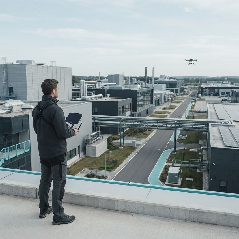
OUR SERVICES · INSPECTION
Integrating Drone Inspection Data into Professional Surveying Workflows
Airframe provides specialist drone capture services that integrate high-resolution, indexed imagery into professional surveying workflows. By delivering structured data, we support proactive asset management while reducing the need for high-risk manual inspections.
29 Oct 2026 · 6 min readRead