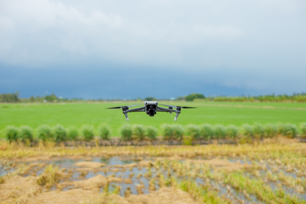
SVC-04 — AGRICULTURE & ENVIRONMENTAL MONITORING
Knowing what'shappening on yourland changes howyou manage it.
Airframe provides professional drone-based surveying, monitoring, and aerial documentation for farms, estates, landowners, and environmental projects across the United Kingdom.
THE PROBLEM WE SOLVE
The ground tells youso little.
Walk the perimeter and you see the boundary. Drive the track and you see the track. But you cannot see what is happening in the middle of a 400-acre estate, across a watercourse you cannot easily reach, or at the far end of a woodland that takes an hour to walk. Aerial monitoring changes that. One drone flight gives you a complete, accurate picture of your entire site — in the time it takes to drive there.
WHAT WE DO
Services We Offer
Eight core service capabilities, deployable individually or as a combined monitoring programme across your land holdings.
Land Monitoring
Scheduled aerial surveys capturing how your farmland, estate, or development land changes over time, building a documented visual record across weeks, months, and seasons.
Agricultural Site Surveys
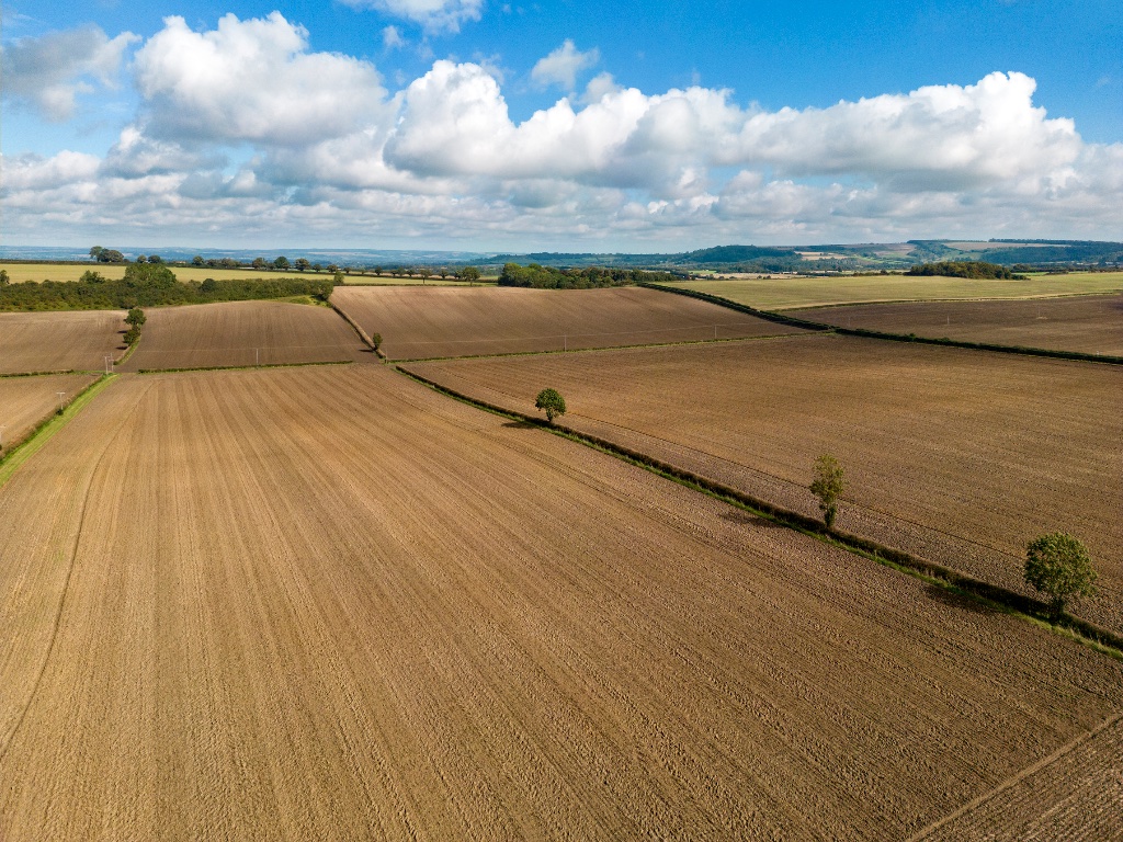
High-resolution aerial photography and video covering your entire agricultural site in a single visit, including fields, boundaries, infrastructure, drainage, and access routes.
Estate & Land Management
Comprehensive aerial surveys supporting landowners and estate managers, documenting the condition, layout, and character of your land at an altitude that ground visits cannot match.
Environmental Monitoring
Regular aerial monitoring of environmental restoration projects, managed land, and nature recovery schemes, providing consistent evidence of progress for funders and regulators.
Forestry & Woodland
Aerial imagery and video supporting woodland management, canopy assessment, forestry project monitoring, and vegetation surveys across large and remote woodland sites.
Flood & Drainage
Drone surveys identifying water accumulation, drainage failures, and flood-affected areas, giving you the information you need before problems become expensive.
Site Documentation
Professional aerial records supporting planning applications, progress reporting, heritage surveys, and stakeholder communications, delivered to a standard suitable for formal use.
Aerial Photography & Video
High-quality aerial imagery and 4K footage for landowners, environmental organisations, estates, and rural businesses, ready for reports, publications, and communications.
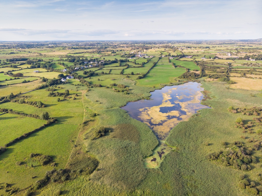
Every acre. Every boundary. Every change.
FARMLAND · RURAL ESTATES · ENVIRONMENTAL & HABITAT SITES · FORESTRY & WOODLAND · FLOOD PLAINS & WATERCOURSES · CONSERVATION & NATURE RECOVERY · RENEWABLE ENERGY SITES · CONSTRUCTION & INFRASTRUCTURE · HERITAGE & ARCHAEOLOGICAL SITES · PUBLIC OPEN LAND & COUNTRY PARKS
See your land as it actually is.
DELIVERABLES
What You'll Receive
Every project is completed and delivered as a professional package. The content is processed, clearly organised, and ready to use the moment you receive it — for planning submissions, stakeholder presentations, project records, or operational review.
High-Resolution Aerial Photography
Full-resolution still imagery delivered at source resolution, suitable for formal planning documents, detailed estate records, and stakeholder reporting.
Professional 4K Video Footage
Aerial video in 4K resolution, edited to a professional standard. Suitable for project documentation, progress presentations, and organisational communications.
Monitoring Records Over Time
A sequenced set of aerial records from scheduled visits — showing site condition, vegetation change, or progress at defined intervals, structured for long-term project use.
Land & Estate Survey Content
Visual survey data covering your entire site — boundaries, infrastructure, access, land condition — in a format that supports estate management, planning, and decision-making.
Stakeholder Reporting Assets
Imagery and video formatted and ready for use in formal reports, planning applications, funder updates, public consultations, and internal communications.
Secure Digital Delivery
All content is professionally processed, clearly labelled by site and date, and delivered via secure digital transfer in the file formats you specify.
WHO WE WORK WITH
Built For Land Professionals
Ten sectors. One aerial capability. Here is who benefits most from working with Airframe.
Rural Estate Managers & Landowners
We fly your estate and deliver a complete set of professional aerial imagery. Every boundary, building, water feature, and land holding documented from above in a single visit.
Agricultural Businesses & Farm Managers
We fly your land and deliver high-resolution aerial imagery of your fields, drainage, and infrastructure. Ready for grant submissions, farm records, and operational planning.
Environmental Consultancies
We provide the aerial photography and video your environmental reports require. Scheduled visits, consistent coverage, delivered in the formats your workflow needs.
Rural Planning Consultants
We deliver CAA-compliant aerial photography and 4K video captured to the resolution and quality your planning submissions require. Ready to submit on receipt.
Renewable Energy Developers
We cover large rural sites from the air at every project stage. Site photography, planning imagery, construction monitoring, and post-installation aerial records.
Civil Engineering & Infrastructure Contractors
We provide aerial photography and video of your rural project site at every stage. Pre-works, during construction, and post-completion, without touching the ground.
THE PROCESS
How It Works
Brief
Tell us about your land, project, and what you need to see. We discuss the site, area to be covered, outputs required, and your timeline.
Plan
We handle all flight planning, site risk assessments, and CAA permissions where required. Everything is in place before we arrive on site.
Capture
Our pilots conduct the drone operations — capturing high-resolution imagery and video across your entire project area in a single, professionally managed visit.
Deliver
Processed and organised content delivered digitally within three to five working days, in the formats your project requires.
Brief
Tell us about your land, project, and what you need to see. We discuss the site, area to be covered, outputs required, and your timeline.
Plan
We handle all flight planning, site risk assessments, and CAA permissions where required. Everything is in place before we arrive on site.
Capture
Our pilots conduct the drone operations — capturing high-resolution imagery and video across your entire project area in a single, professionally managed visit.
Deliver
Processed and organised content delivered digitally within three to five working days, in the formats your project requires.
We operate across the United Kingdom. Wherever your land is, we can be there.
Every flight is fully permitted, risk assessed, and documented before we leave the ground.
Comprehensive commercial drone insurance carried on every operation as standard.
WHY AIRFRAME
Why Professionals
Choose Airframe
We are a CAA-compliant commercial drone operation, fully insured and operating across the United Kingdom. We work with landowners, estate managers, and project teams who need professional aerial services delivered reliably, on schedule, and to a standard they can use.
Complete Site Coverage
We cover your entire site, from a five-acre paddock to a 2,000-acre estate, delivering consistent quality of coverage across every part of it. Larger holdings may require multiple flights or visits to capture fully.
CAA Compliant. Fully Insured. Fully Documented.
Every operation is planned and conducted in full compliance with UK drone regulations. We carry comprehensive commercial drone insurance and document every flight with a site-specific risk assessment.
Content Ready for Formal Use
Everything we deliver is processed to a professional standard and suitable for use in planning submissions, grant applications, funder reports, and formal stakeholder communications.
We Build Around Your Project
We discuss what you need, plan accordingly, and price the work fairly. Whether you need one visit or a multi-year monitoring programme, the service is built around your project — not a fixed-price menu.
Nationwide, From Hampshire
We operate across the United Kingdom from our base in Hampshire. Wherever your site is, we can be there. No hidden costs.
COMMON QUESTIONS
Frequently
Asked Questions
Still have a question? We're happy to talk through your project.
Get in touch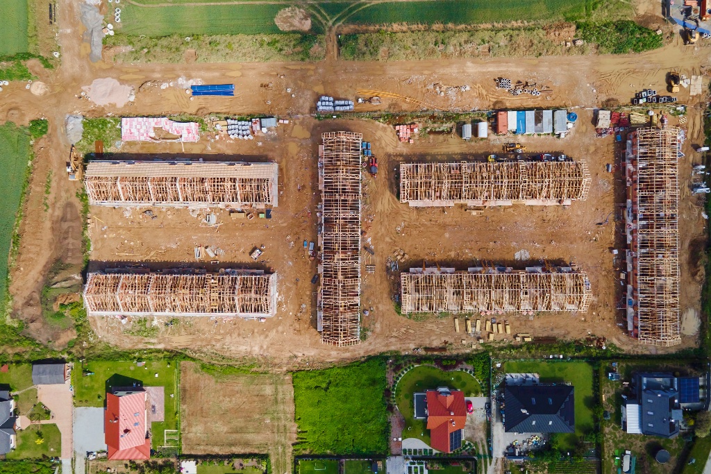
START YOUR PROJECT
Tell us aboutyour land.We'll handle the rest.
Send us a brief description of your site, what you need to monitor or document, and your approximate timeline. We will come back to you — usually within one business day — with a clear proposal and a straightforward quote.