QUESTIONS ANSWERED · AIRFRAME ENVIRONMENTAL
How can drone-based agricultural surveys provide better data than ground-based monitoring?
By Ben Price, Managing Director, Airframe Drone Services
Manual land observation is labour-intensive and often leaves large areas of an estate unmonitored. Drone-based aerial surveys capture high-resolution imagery of entire sites, delivering consistent, structured data that supports informed decision-making. This approach allows managers to track land development and environmental changes with precision, replacing memory-based assessments with objective visual records.
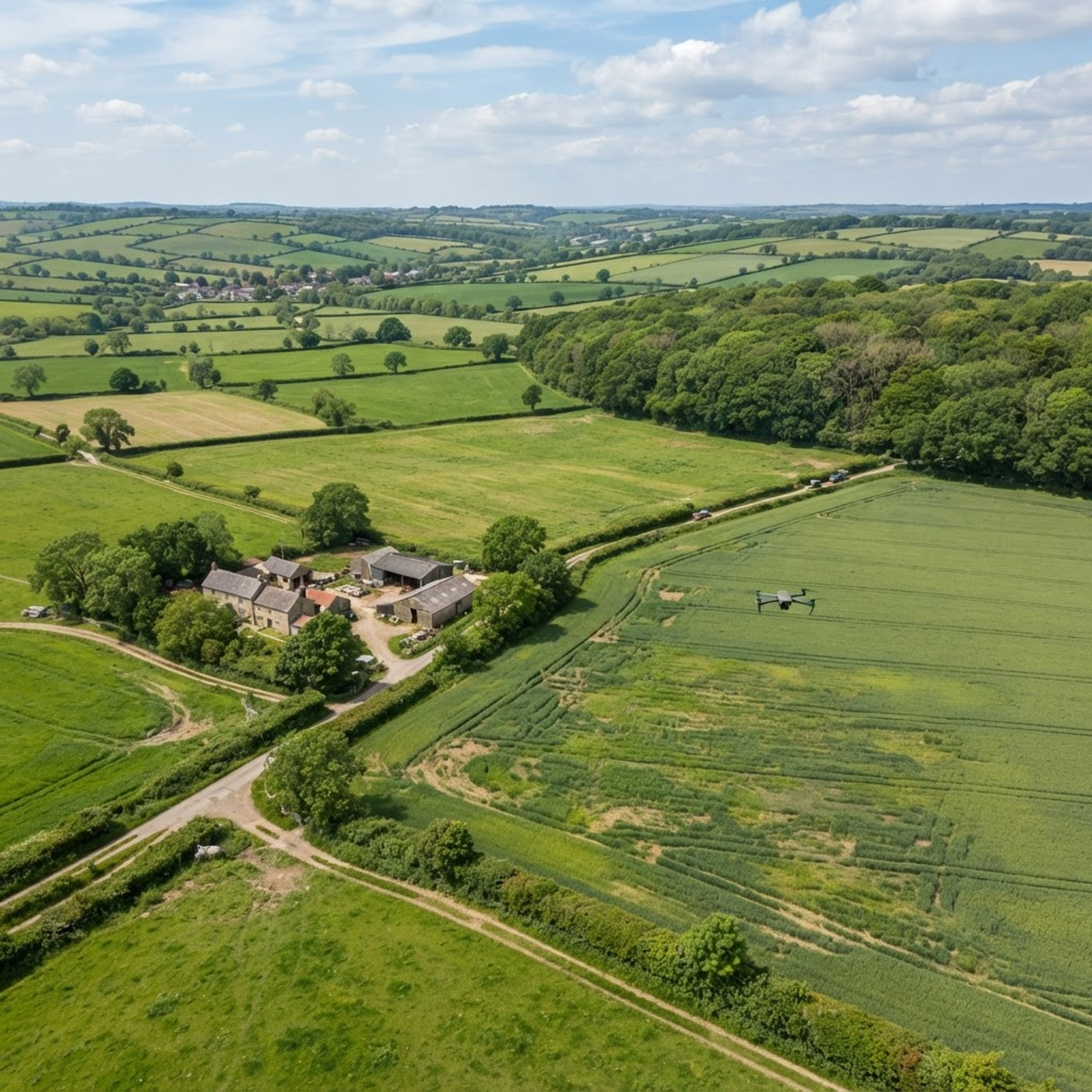
Managing rural estates, farmland, or large-scale environmental projects often relies on manual observation. While walking perimeters or driving tracks provides some visibility, these methods cannot easily capture the state of a 400-acre estate or remote woodland (S3). Aerial monitoring can provide a clear picture of sites where ground-level access is difficult or time-consuming. Because the ground tells you so little when viewed in isolation, managers often lack the full picture needed to make informed decisions (S3).
Drone-based surveys overcome these physical constraints by providing professional aerial documentation of your entire site (S3). By capturing high-resolution data from an elevated perspective, these operations deliver a comprehensive view of boundaries, infrastructure, and land conditions that standard walking cannot match (S3). This approach provides a documented visual record that supports effective decision-making across agricultural and environmental projects (S3). By integrating aerial data into your operational workflow, you can monitor site changes with greater efficiency, consistency, and detail than manual methods allow (S3).
The Limitations of Manual Land Observation
For land managers, manual observation from tracks or perimeters may not provide visibility of entire estates or remote areas (S3). Walking a large estate or a 400-acre farm is labour-intensive and time-consuming, meaning only a fraction of the total site is typically monitored in detail (S3).
Features such as drainage failures, water accumulation in remote areas, or specific sections of woodland may remain unseen during standard ground-level patrols, potentially leading to issues being identified only after they have become costly to address (S3). Our Agricultural & Environmental Monitoring page sets out what the service covers.
In contrast, a planned aerial flight covers ground that would take hours to walk, providing a clear picture of the whole site (S3). This capability is particularly beneficial for managing complex environments such as flood plains, forestry, and large-scale environmental restoration schemes (S3). By removing the need to navigate difficult terrain, drones allow for a consistent assessment of farmland, boundaries, and critical infrastructure in a single, efficient visit, ensuring no part of the holding is neglected due to accessibility issues (S3).
Creating Consistent and Actionable Records
Effective land management requires more than a one-off inspection; it needs long-term visibility into how land conditions change. Drones facilitate scheduled monitoring programmes, capturing data at defined intervals such as monthly, quarterly, or seasonally (S3). This builds a sequenced set of aerial records that document progress across weeks, months, and even years, providing an objective visual history of the site (S3).
These consistent records allow managers to track vegetation growth, project development, or land use changes with precision (S3). By having a structured visual history, landowners can better assess the effectiveness of habitat restoration or environmental recovery schemes, providing clear evidence for funders and regulators (S3). Unlike memory-based assessments, this digital record offers data that can be re-examined and compared over time to guide future land-use decisions (S3).
Commissioning Your Professional Aerial Survey
To initiate a project, you will need to provide a brief description of your land, the specific area you aim to monitor, and your primary objectives (S3). The operator conducts pre-flight airspace assessments and, where operations require access to controlled or restricted airspace, applies for the necessary permissions (S2). For operations involving complex sites, restricted airspace, or higher risk factors, the operator may conduct a site survey in advance of the operational day to ensure everything is in place for a successful flight (S2).
Data Deliverables and Their Applications
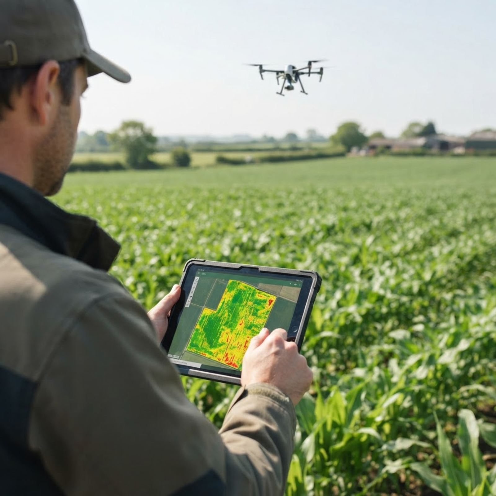
The output of an aerial survey is processed into a professional, ready-to-use package (S3). Deliverables may include high-resolution aerial photography and 4K video footage, with specific requirements agreed upon at the briefing stage (S2, S3). These assets are structured, labelled by site and date, and delivered via secure digital transfer, making them suitable for formal reporting, planning submissions, and stakeholder communications (S3). Having data in an organised state allows you to integrate the evidence directly into your reports and operational reviews without the need for additional post-processing (S3).
Beyond basic visuals, aerial surveys can provide evidence for specific land management tasks (S3). For example, imagery can document field drainage, boundary layouts, and infrastructure conditions (S3). Airframe provides processed and organised content suitable for use in planning submissions, stakeholder presentations, project records, or operational review (S3).
Operational Safety, Privacy, and Compliance
Commercial drone operations must be conducted in full compliance with UK aviation and data protection regulations (S5, S6). Airframe is a CAA Registered Drone Operator and all pilots are CAA-qualified (S2). Before flying, the operator performs a site-specific risk assessment to identify hazards and implement control measures, ensuring the safety of people and property on the ground (S2).
Furthermore, operators acting as data controllers are required to handle imagery responsibly (S6). This involves managing the potential for collateral intrusion and complying with data protection law when capturing footage (S5, S6). Responsible operators will often fly at altitudes that minimise the inadvertent capture of individuals and ensure that data is stored securely (S6). Airframe conducts pre-flight airspace assessments as standard and provides information on data protection requirements when operating as a data controller (S2, S6).
TALK TO AIRFRAME
Discuss your project with Airframe.
RELATED INSIGHTS
Keep reading
INDUSTRY APPLICATIONS · ENVIRONMENTAL
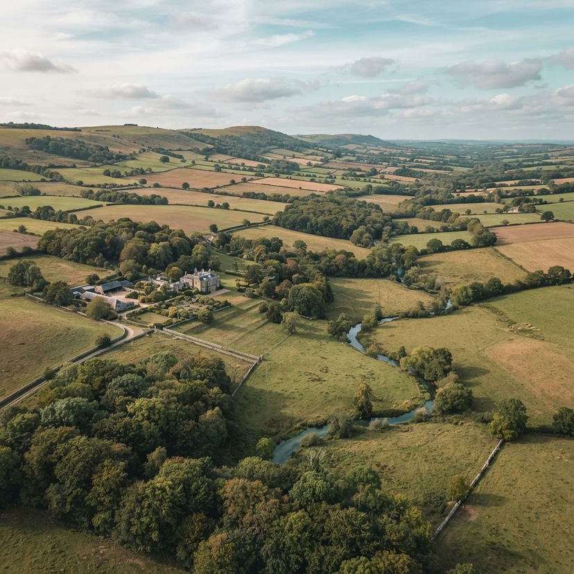
Integrating Aerial Surveys into Estate Management: Data for Landholders
Integrating aerial surveys into estate management provides landholders with the high-resolution documentation needed for planning, grant applications, and site monitoring.
29 Oct 2026 · 7 min readRead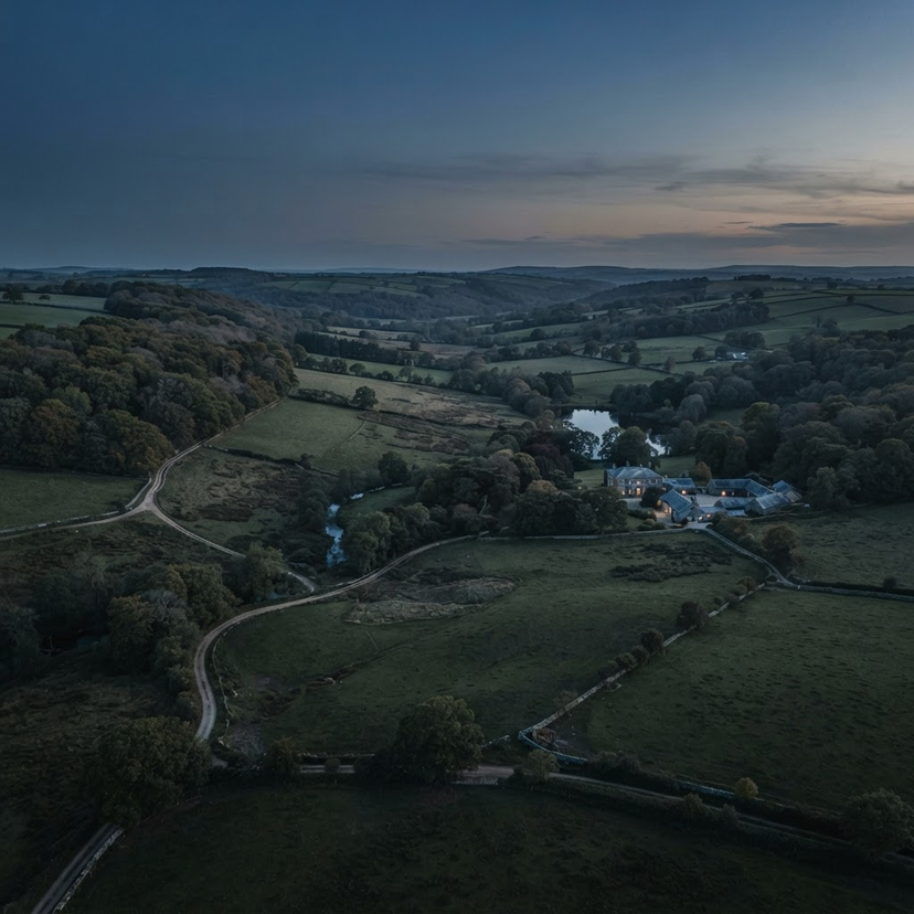
GUIDES & KNOWLEDGE · ENVIRONMENTAL
Integrating Recurring Wildlife Monitoring into Your Estate Management Cycle
Streamline your estate management by integrating professional aerial wildlife monitoring into your annual cycle with Airframe's managed service model.
28 Oct 2026 · 5 min readRead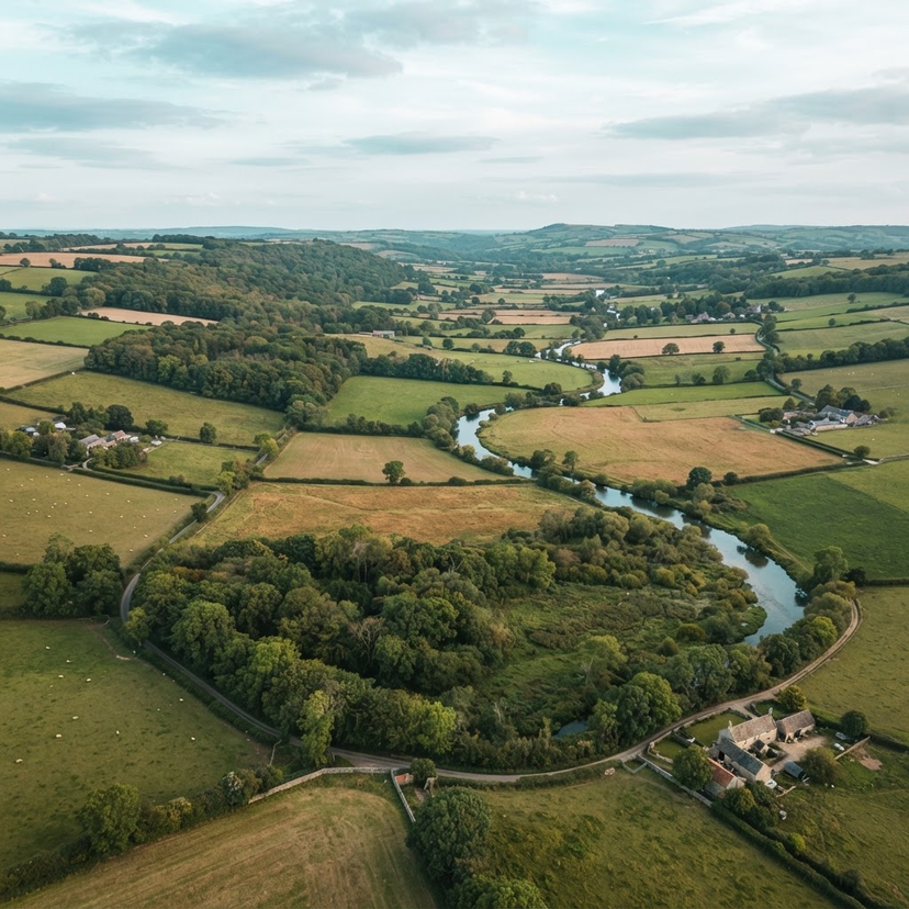
OUR SERVICES · ENVIRONMENTAL
Planning Professional Drone Support for Agricultural and Environmental Monitoring
Learn how to plan professional aerial monitoring for your landholdings. This guide explores how to define your objectives, select the right survey outputs, and structure recurring flight programmes.
25 Oct 2026 · 5 min readRead