SVC-03 · AIRFRAME CONSTRUCTION · INSIGHTS
Construction Monitoring & Drone Mapping
Every Airframe article on construction monitoring & drone mapping, grouped by topic: what the work involves, how to plan it and what you receive.
9 articles
Our Services
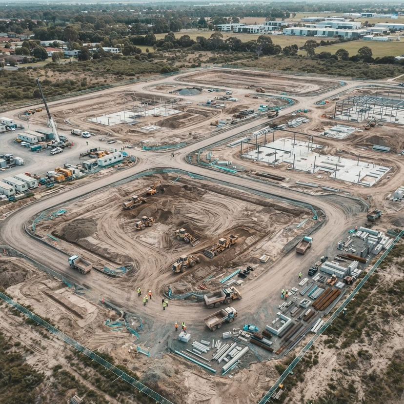
OUR SERVICES · CONSTRUCTION
Aerial Surveying for Construction and Land Development Projects
Streamline your site management with professional aerial monitoring and survey-grade mapping. We support construction teams across Southern England, London and the Home Counties with data-driven progress capture and 3D terrain analysis.
8 Nov 2026 · 4 min readRead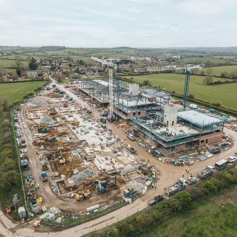
OUR SERVICES · CONSTRUCTION
Progress Photography vs Orthomosaic Mapping: Choosing the Right Construction Data
Selecting the correct aerial data is essential for managing your construction project. This guide explains the differences between progress photography and orthomosaic mapping.
1 Nov 2026 · 3 min readRead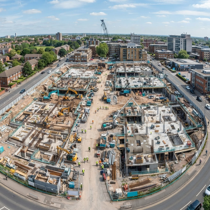
OUR SERVICES · CONSTRUCTION
Building a Consistent Construction Progress Record with Drone Services
Consistent aerial documentation provides developers and contractors with an accurate, structured visual history of their project. Learn how scheduled drone monitoring supports reporting, progress tracking, and site management.
25 Oct 2026 · 6 min readRead
Industry Applications
INDUSTRY APPLICATIONS · CONSTRUCTION
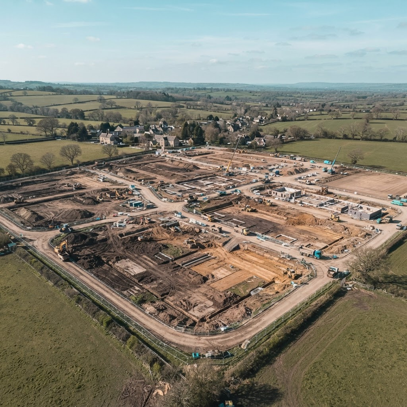
Using 3D Photogrammetry for Volumetric Analysis on Construction Sites
Using drone-based 3D photogrammetry allows construction teams to generate accurate volumetric measurements and terrain models, providing essential spatial data for site management.
1 Nov 2026 · 2 min readRead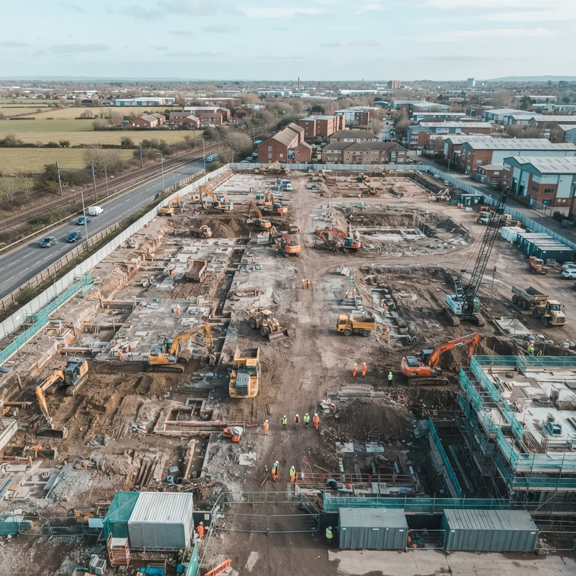
INDUSTRY APPLICATIONS · MANAGED
Integrating Managed Drone Operations into Construction Scheduling
Streamline your construction site management by integrating managed drone operations for consistent progress monitoring and survey-grade mapping.
3 Nov 2026 · 2 min readRead
Guides & Knowledge
GUIDES & KNOWLEDGE · CONSTRUCTION
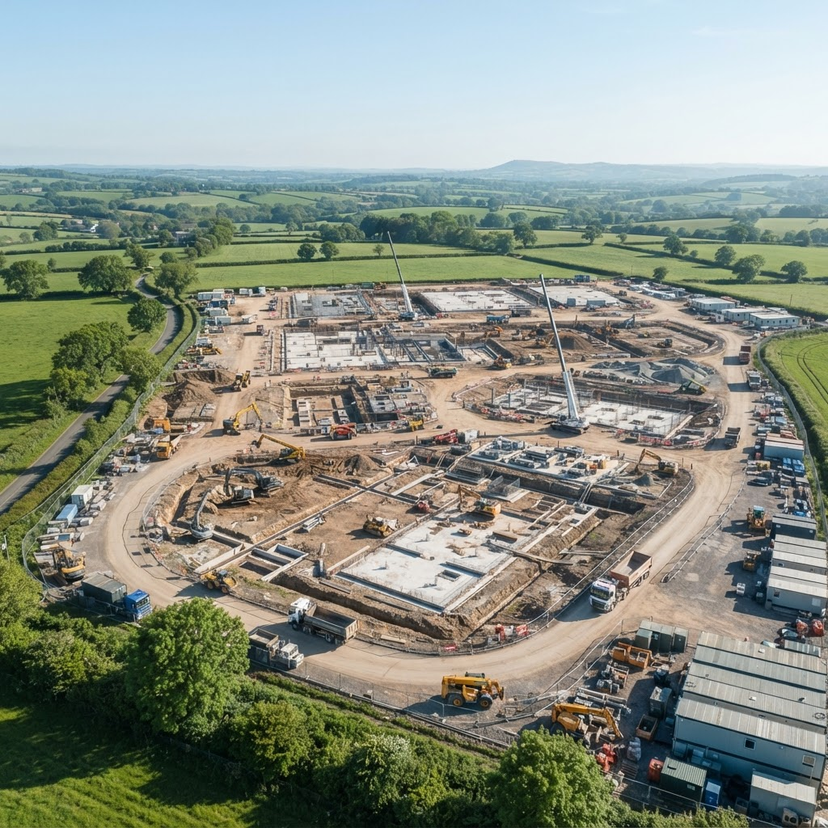
Using Professional Drone Surveys for Construction Projects in Oxfordshire
Professional drone surveys provide Oxfordshire construction projects with consistent, repeatable visual data to monitor progress from groundworks to completion. Integrating aerial mapping and photogrammetry improves site reporting, stakeholder communication, and safety through objective, high-resolution documentation.
8 Nov 2026 · 6 min readRead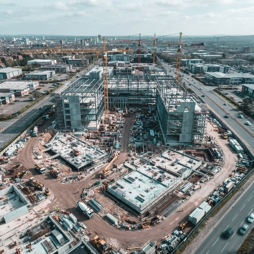
GUIDES & KNOWLEDGE · CONSTRUCTION
Structuring an Effective Aerial Monitoring Programme for Construction
Establishing a formal aerial monitoring programme provides consistent, actionable visual intelligence throughout the construction lifecycle. This guide outlines how to align flight schedules with reporting cycles, manage site safety, and ensure data integrity for project stakeholders.
28 Oct 2026 · 6 min readRead
Questions Answered
Regulations & Safety
TALK TO AIRFRAME
Planning construction work?
Send us the site, the outputs you need and your timescale, and we will come back to you with a scope and quotation.