Airframe Rescue · Wallingford
Animal & Wildlife Search and Rescue in Wallingford
Drone-assisted search for lost dogs, loose livestock and injured wildlife around Wallingford (OX10), from the Thames meadows to Wittenham Clumps, Cholsey and the edge of the Chilterns. RAF Benson’s restriction zone covers the centre of the town, so we check the airspace first and are clear with you about what is possible.
- Hampshire-based operator
- CAA Registered Drone Operator
- Thermal and visual cameras
- Fully insured
Local service
Searching for a missing animal around Wallingford
Wallingford is an old market town on the west bank of the Thames in South Oxfordshire, with Crowmarsh Gifford across the bridge. The river runs past meadows, the castle grounds and riverside paths, and the valley around the town is flat, open farmland. To the north-west, Wittenham Clumps and the Sinodun Hills rise above the river, with woods, grassland and nature reserves managed by the Earth Trust, and to the east the land climbs into the Chilterns around Nuffield.
For a lost dog or loose livestock this is mostly good ground to search from the air: open fields, meadows, hedges and small woods. A dog that runs off on the riverbank or the Clumps can still be hard to spot on foot, especially in long grass or crops. A thermal camera overhead can cover the valley quickly and direct people to the right place.
Wallingford is inside our core coverage zone, which runs to about 50 miles from Basingstoke, but the airspace is the deciding factor here. RAF Benson, just to the north-east, is surrounded by a flight restriction zone that covers the centre of Wallingford, Benson and Ewelme, and it is also home to police and air ambulance helicopters. Inside the zone we cannot fly without the RAF’s express permission, so many searches will focus on the land to the south and west. Weather and crew availability decide the rest.
AT A GLANCE · WALLINGFORD
- Service
- Drone-assisted search and location of missing, escaped or injured animals
- Area
- Wallingford and the villages of the Thames valley around it, inside our core zone
- Airspace
- RAF Benson’s flight restriction zone covers the town centre, Benson and Ewelme; flights there need RAF permission
- Wider coverage
- Core zone to about 50 miles from Basingstoke, extended zone to about 70 miles, nationwide on request
- How to request
- For an animal missing now, phone 0330 401 1227; anything planned can come through the form
- What we do not do
- Capture, handle, transport or treat animals, or deploy for dangerous species
Local details checked 8 November 2026.
What we can help with
Our rescue services in Wallingford
Six ways Airframe Rescue supports people looking for an animal. In every case we find and watch from the air; the people closest to the animal do the recovering.
Livestock Search and Recovery
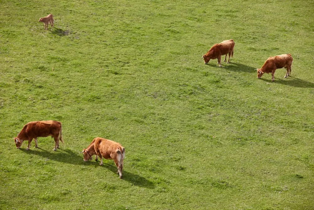
We sweep fields, hedgerows and woodland with thermal and visual cameras to find missing cattle, sheep, horses, pigs or poultry, with or without tags or trackers.
Farms across the valley keep cattle, sheep and horses on open meadows and arable land, where loose stock can wander a long way.
You know where the stock is before you send people and vehicles out.
You and your stockmen do the rounding up; we watch and guide from above.
Pet and Companion Animal Search
Lost dogs, cats and other companion animals often go to ground in cover a search on foot walks straight past. Thermal imaging can pick up body heat in vegetation and in low light.
Dogs that bolt on the Thames Path or the Clumps tend to go to ground in reed, long grass or a hedge near where they were lost.
A focused search around the last sighting, with positions relayed so you can approach calmly.
Built-up areas and roads bring airspace and privacy limits, so each request is assessed first.
Zoo and Collection Animal Location
Discreet aerial support for wildlife parks, zoos, aviaries and private collections looking for a displaced non-dangerous animal.
Eyes over the site and its surroundings, working to your keepers’ recovery plan.
We do not deploy for dangerous species; those are a matter for the emergency services.
Wildlife and Conservation Monitoring
Planned aerial monitoring of protected or vulnerable species across large areas: survey routes, thermal counts and habitat imagery.
Planned surveys along the river and at Wittenham are shaped around nature reserve habitats, nesting birds and the RAF Benson airspace.
Repeatable data delivered to your team, without walking the whole site.
Planned around the species, the season and any disturbance considerations.
Injured or Distressed Animal Location
Where an animal is thought to be injured and lying still, thermal detection can find it in dense cover, on steep ground or in places rescuers cannot easily reach.
Useful for a casualty in riverside reed or out in a large field, subject to the restriction zone.
Precise GPS positions, so rescuers go straight to the animal.
We locate and observe. Handling and treatment stay with vets and welfare professionals.
Priority Call-Outs
When time matters, phone us with the location and what has happened. Each call-out is assessed against location, airspace, weather, light and who is available.
A clear answer on the phone about whether a search is possible, and what it involves.
We do not publish response times; availability depends on the day.
Looking for an animal in or around Wallingford?
Phone if it is missing now. For planned work, send us the details.
The process
How a drone-assisted animal search works
Every search is different, but most follow the same five stages, from your first call to the handover.
- STAGE 01
Enquiry and information
You tell us what is missing, where and when it was last seen, and what the ground is like.
- STAGE 02
Location and feasibility
We check the location against our zones and look at airspace, access, weather and light.
- STAGE 03
Search plan
We divide the area into search zones from the last known position, the terrain and the animal’s likely behaviour.
- STAGE 04
Aerial search
Our pilot watches the thermal and visual feeds live and checks every heat signature against the animal’s size.
- STAGE 05
Findings and handover
We relay GPS positions to your team and stay on station until recovery or until you stand us down.
Before you call
What helps us most
- Where the animal was last seen: postcode, what3words or a landmark
- When it was last seen, as accurately as you can
- Species, size, colour and anything distinctive
- How to get onto the land, and who owns it
- Who is already searching, and where they have looked
Why aerial search
What a drone adds to a search, and where it is limited
A view from above
From up to 120 metres, the standard UK height limit for most drone flights, one viewpoint covers ground that would take a search team hours to walk.
Heat, not just light
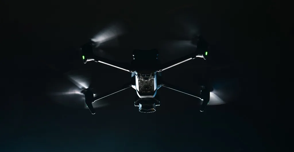
Thermal imaging detects body heat, so it works in darkness and can pick out an animal against cooler ground.
Fewer people on difficult ground
Checking wet, steep or overgrown ground from the air first means people only go in where there is something to find.
Calmer recoveries
Live positions let the people on the ground move quietly to the right place without pushing a frightened animal further away.
- 01Open fieldClear heat signature
- 02Hedgerow and scrubOften visible through gaps
- 03Dense tree canopyDetection reduced
- 04Sun-warmed groundLower contrast by day
The ground we search around Wallingford
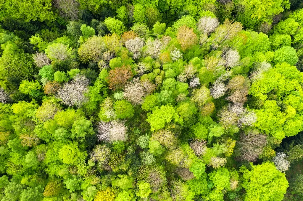
The Thames and its meadows
Above and below the bridge, the Thames runs between meadows, reed and willow, with the Thames Path along much of it. Riverbanks and backwaters give a dog plenty of places to hide close to the path.
LimitationParts of the river near the town are inside the RAF Benson zone. Where we can fly, we keep away from people and boats and check anything near the water on the visual camera.
Valley farmland towards Cholsey
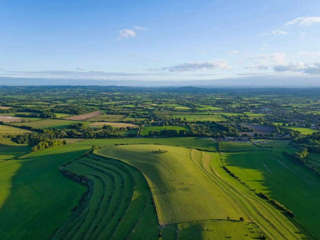
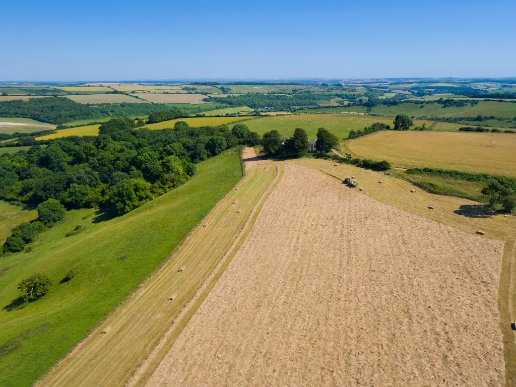
South and west of the town, wide arable fields and grazing stretch towards Cholsey, Brightwell and the Moretons. Open farmland like this is excellent for a thermal search, especially in the cool of early morning or after dark.
LimitationAn animal lying still in a crop is easy to miss, so we work outwards from the last sighting along the field margins.
Wittenham Clumps and the Chiltern edge
The beech-crowned Clumps, Little Wittenham Wood and the Chiltern woods towards Nuffield add steep slopes and tree cover. A dog that heads uphill into the woods can be hard to follow on foot.
LimitationUnder a closed canopy we search clearings and edges and guide people in. The Chiltern side towards Ewelme and Benson needs RAF permission first.
The town, the A4130 and RAF Benson
Wallingford is compact, with the A4130 bypass to the south, the A4074 to the east and RAF Benson’s airfield and helicopter traffic just north-east. Loose animals usually head for the river or the open fields.
LimitationWe never fly over the town, the bypass, houses or the airfield. Inside the restriction zone a search is only possible with permission, which may not be available at short notice.
Coverage
Wallingford and surrounding areas
We provide drone-assisted animal and wildlife searches around Wallingford and its neighbours, from Little Wittenham and Brightwell-cum-Sotwell in the west to Cholsey and Moulsford in the south and Benson, Ewelme and Nuffield in the east, airspace permitting.
Airframe does not have an office or team in these villages; they are within our search area, subject to the RAF Benson zone.
VILLAGES AND AREAS WE COVER
- Crowmarsh GiffordVillage across the bridge on the east bank.
- BensonVillage to the north, beside RAF Benson.
- Brightwell-cum-SotwellVillage to the west.
- CholseyLarge village to the south-west, below the Downs.
- EwelmeVillage to the north-east at the foot of the Chilterns.
- MoulsfordRiverside village to the south.
- NuffieldVillage high in the Chilterns to the east.
- Little WittenhamVillage to the north-west below Wittenham Clumps.
Wallingford is inside our core zone, which runs to about 50 miles from our Basingstoke base. See the full coverage map or check a postcode with our coverage checker.
Who we support
Who the service is for
Around Wallingford the calls we expect come from dog walkers on the Thames Path and at Wittenham, farmers and horse owners across the valley, and the trusts that manage the riverside and hills.
Not sure if we can help?
Call and describe the situation, and we will suggest the most useful next step.
Call 0330 401 1227Pet owners
Dogs, cats and other companion animals lost on a walk or from home.
Farmers and livestock keepers
Stock that has broken out across fields, hedges and woodland.
Landowners and estates
Searches and planned monitoring across large private land.
Animal welfare organisations
Rescues, charities and vets who need eyes on a casualty or a stray.
Wildlife and conservation groups
Planned surveys, counts and habitat imagery.
Animal collection operators
Wildlife parks, zoos, aviaries and private keepers of non-dangerous species.
Search coordinators
Anyone running a search who needs aerial support alongside their team.
How we operate
How we fly safely and legally
A search only helps if it is flown safely and legally. This is how every Airframe Rescue deployment is run, in Wallingford and everywhere else we work.
More on how we plan and fly operations and the aircraft we use.
Common questions
Questions about animal searches around Wallingford
Something we have not covered? Call us and ask.
0330 401 1227Can a drone help find a lost dog in Wallingford?
Sometimes, depending on where it was lost. The farmland and meadows south and west of the town are good ground for a thermal search, but the town centre, Benson and Ewelme lie inside RAF Benson’s restriction zone and need RAF permission. Tell us the exact place and we will be straight with you. Call 0330 401 1227.
Why does RAF Benson matter so much?
RAF Benson is an operational station with helicopters, including police and air ambulance aircraft, and it is surrounded by a flight restriction zone. Flying any drone inside it without express permission is illegal. We ask for permission when needed, but it may be refused or take time.
Can you search Wittenham Clumps?
Usually, as it sits outside the main restriction zone, though we always check. The open grassland and hill slopes suit a thermal search, and the woods can be checked along their edges. It is a nature reserve, so flights are kept short.
Can you search along the Thames?
Downstream towards Moulsford and on the western side, often yes. Close to the town and towards Benson we need permission first. We never fly over people or boats on the river.
Stock has broken out across the valley fields. Can you help?
Yes, where the airspace allows. Stock shows up clearly on thermal across open valley fields, and we can keep watch while the animals are brought back.
Can you help near Crowmarsh or the bypass?
Only with care. Crowmarsh Gifford sits across the river close to the restriction zone, and the A4130 bypass carries fast traffic. We check the exact spot against the zone, and if we cannot fly we will help you think through where the animal is likely to have gone so your search on foot is more focused.
Is a night search worthwhile?
Often. The fields and meadows cool after dark, and a warm animal is much easier to see. Night flights follow CAA rules and the same airspace limits.
How soon can you get to Wallingford?
We do not quote a response time, and here airspace permission can add to it. Wallingford is in our core zone; ring 0330 401 1227 and we will tell you what is realistic.
What details do you need?
The exact location and time of the last sighting, ideally with a what3words reference so we can check it against the restriction zone. What the animal looks like, whether it will approach strangers and which way it was heading. Anywhere already searched.
Which villages near Wallingford do you cover?
Wallingford, Crowmarsh Gifford, Benson, Ewelme, Nuffield, Moulsford, Cholsey, Brightwell-cum-Sotwell, the Wittenhams, the Moretons and the countryside around them, all inside our core zone and subject to the RAF Benson airspace.
Is the service charged?
Yes. We are a commercial drone operator and every search is a paid job. The fee depends on where it is, how long it is likely to run and what it involves, and you will know it before we fly.
What about a dangerous animal?
Call 999. Dangerous animals are for the emergency services, and we leave any search they are running to them.
Related: Airframe Rescue service overview, thermal imaging surveys and drone services across Hampshire.
Animal search nearby: Didcot, Henley-on-Thames, Reading, Woodley.
Need help finding an animal around Wallingford?
Send us the place and time the animal was last seen. We will check it against the RAF Benson zone and tell you quickly whether a drone search is possible and what it would involve.
- 01You call or send detailsLocation, time last seen and a description.
- 02We assessZone, airspace, weather and availability, then a clear answer.
- 03We searchThermal and visual sweeps, with positions relayed to your team.
Request search assistance
Discuss a search in Wallingford
If an animal is missing right now, please phone. The sooner we speak, the sooner we can tell you whether a drone search can help. For planned work and general enquiries, use the form and include a postcode.
If an escaped animal is a danger to the public, call 999. Dangerous species are a matter for the emergency services.