Airframe · Drone surveys
Drone Surveys Across Southern England
Airframe carries out drone surveys for construction, property, land and infrastructure clients across Hampshire, Berkshire, Surrey, Wiltshire, Dorset, West Sussex and London. We plan and fly the capture as a CAA Registered Drone Operator, then supply mapping data, condition imagery or thermal readings in the formats your team works with.
- Mapping
- Condition
- Thermal
- Land
Survey types
Which drone survey do you need?
Each survey type has its own capture method and deliverables. Start with the one closest to your question; if you are not sure, describe the site and we will recommend the right approach.
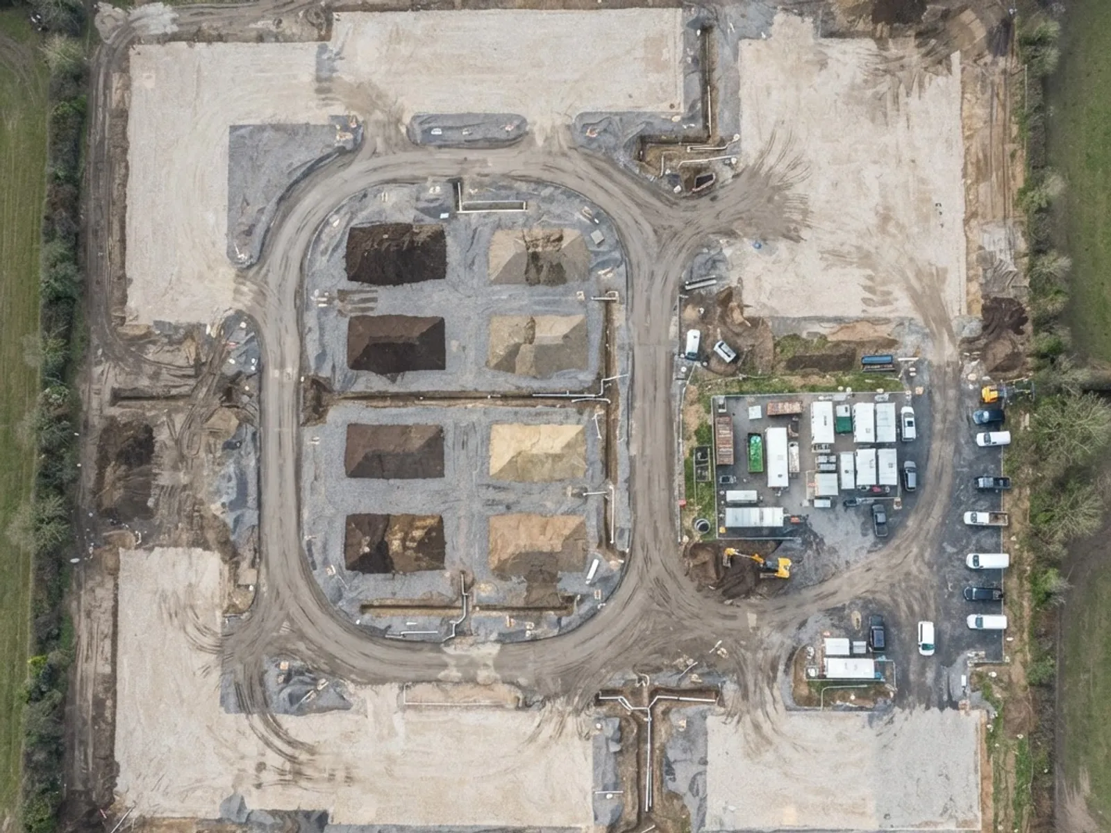
Mapping and topographic data
Orthomosaic maps, photogrammetry models, point clouds and surface and terrain models for construction sites, land and development projects, supplied in GIS-compatible formats for your surveyor or design team.
What you receive
- Orthomosaic maps
- Point clouds
- Surface and terrain models
- Contour and elevation data
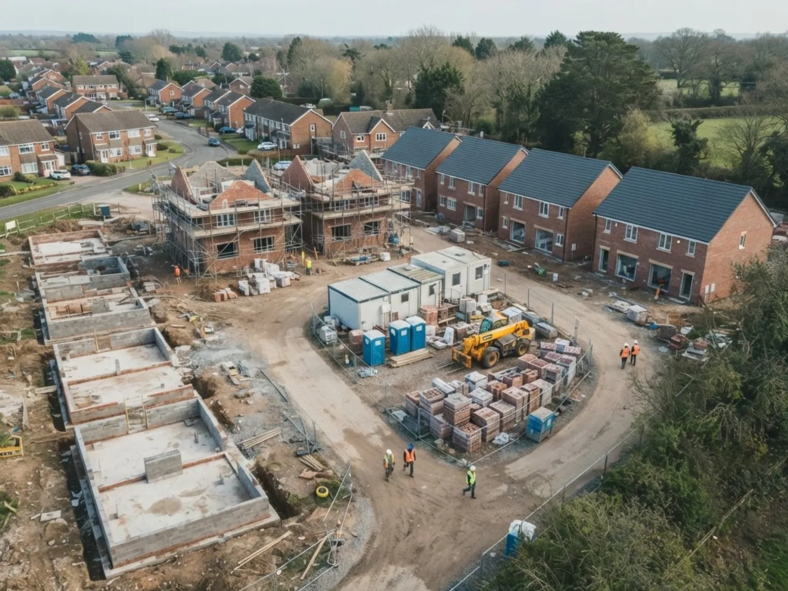
Construction progress surveys
Scheduled aerial capture from groundworks to practical completion, flown from the same plan each visit, giving your project team a dated visual record and comparable mapping for progress reporting.
What you receive
- Dated progress imagery
- Repeatable flight plans
- Comparable mapping
- Timelapse records
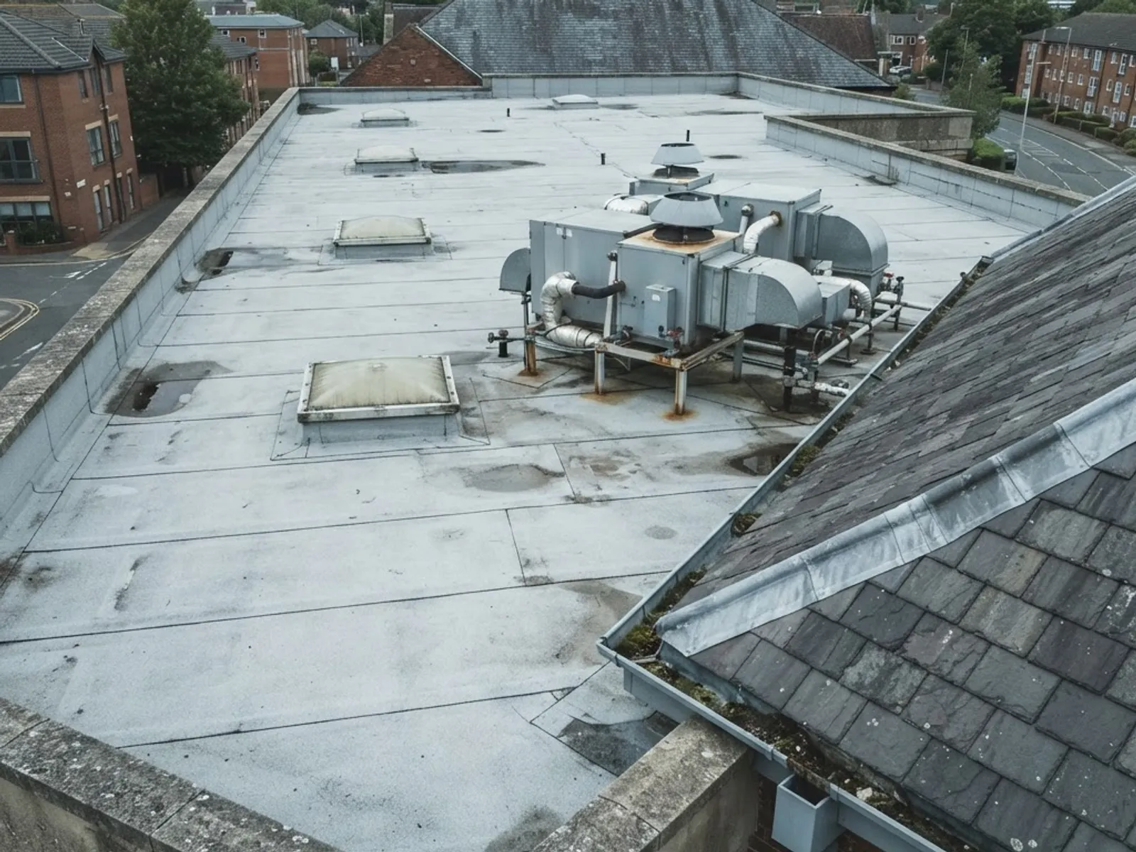
Roof and building condition
Close, high-resolution capture of roofs, elevations, gutters, chimneys and plant, with no scaffolding or access platforms. Indexed and annotated so your surveyor or contractor can assess condition.
What you receive
- High-resolution stills
- Indexed image sets
- Reference annotation
- No scaffolding needed
 ILLUSTRATIVE
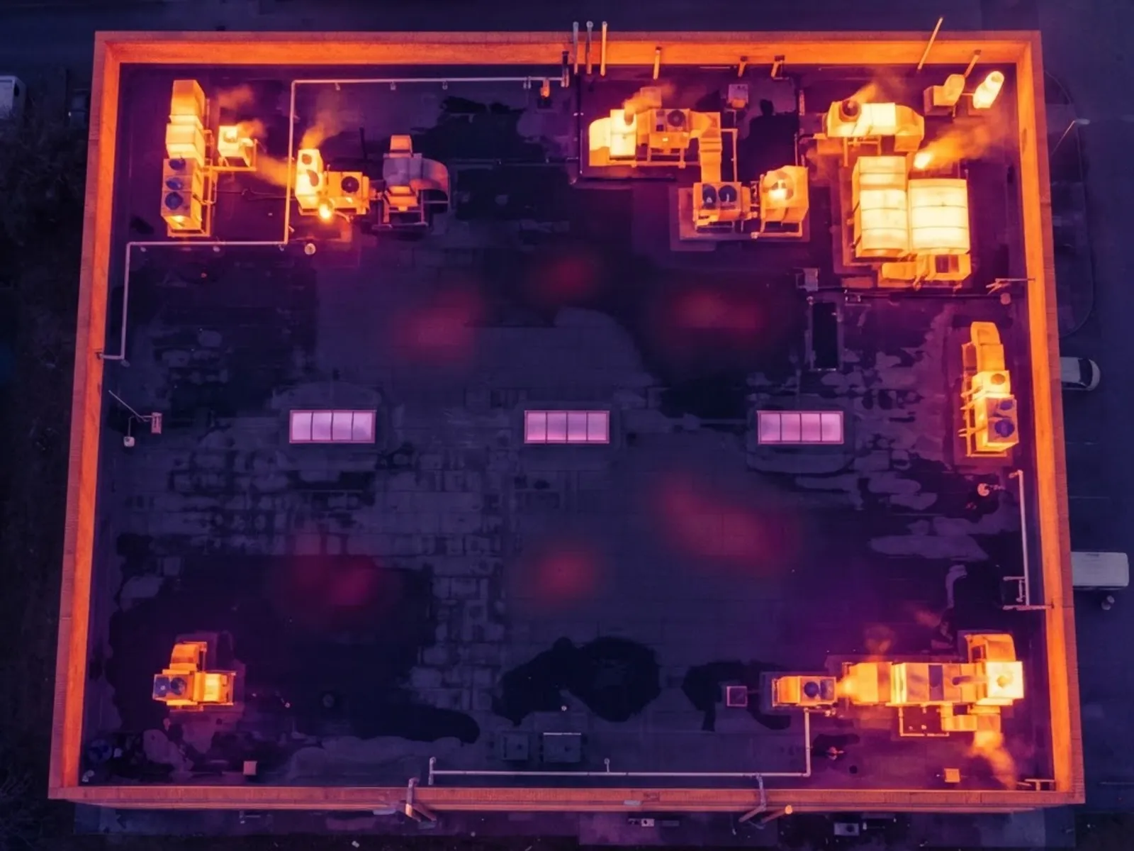
Thermal surveys
Radiometric thermal capture of roofs, building envelopes, solar PV and plant, flown in the right conditions and indexed for your thermographer.
What you receive
- Radiometric RJPEG files
- Thermal and RGB pairs
- Annotated frames
- Georeferenced imagery
Land, farm and estate surveys
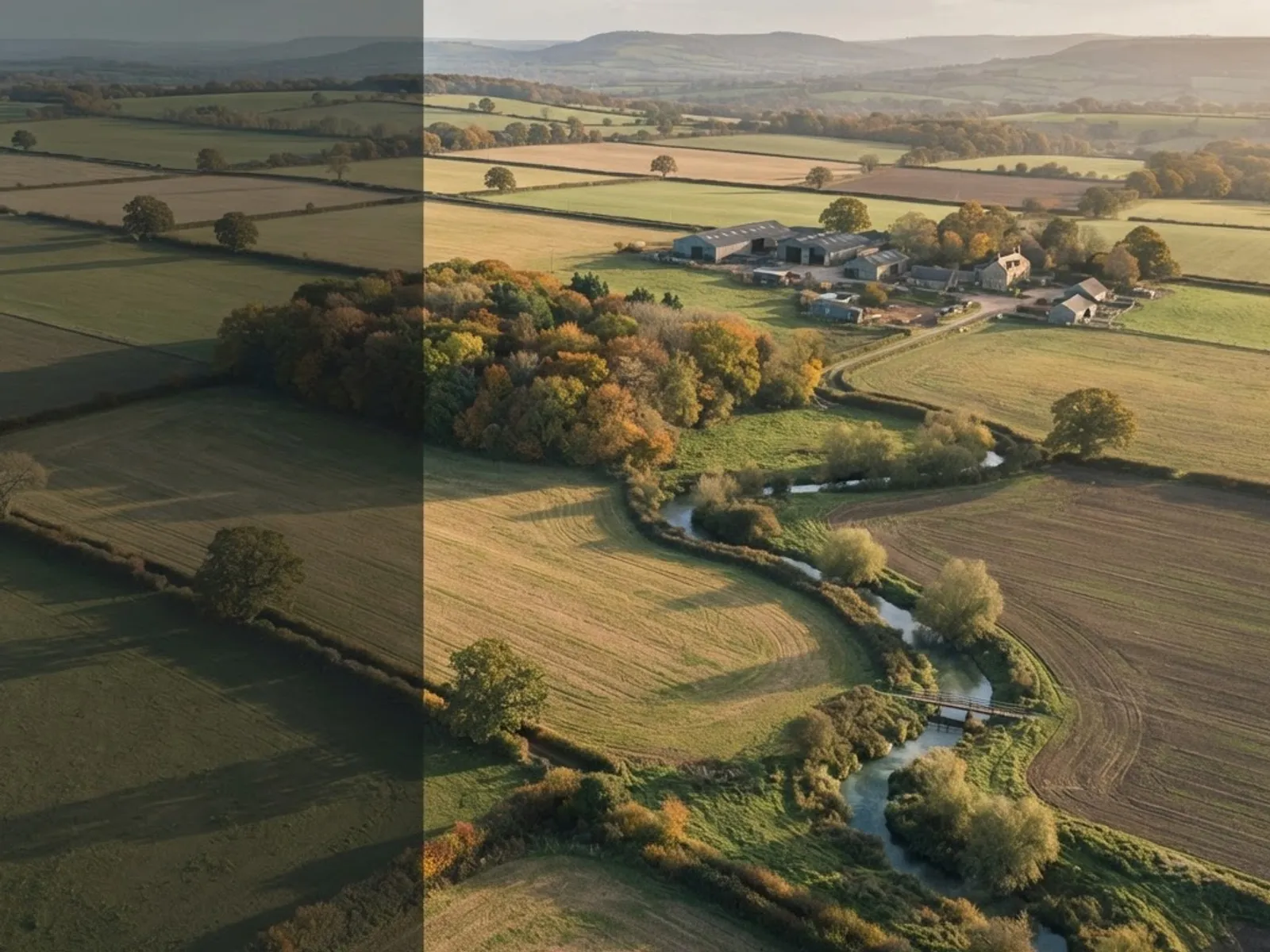
Repeatable aerial records of farmland, woodland, watercourses and estates for land agents, landowners and environmental projects.
What you receive
- High-resolution aerial stills
- 4K aerial video
- Monitoring records over time
- Boundary and drainage imagery
Property condition surveys
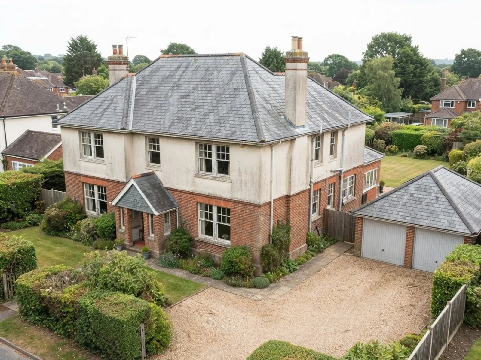
Aerial condition capture for agents, landlords and facilities managers before a sale, between tenancies or when planning maintenance across a portfolio.
What you receive
- Roof and elevation capture
- Organised image sets
- Before a sale or between tenancies
- Not a RICS survey
Mapping
Drone mapping and orthomosaic surveys
Airframe produces drone mapping and orthomosaic surveys across southern England, from our base in Basingstoke. We fly pre-programmed flight plans and supply orthomosaic maps, photogrammetry models and terrain data for construction sites, land and estates. Land surveyors use our data in their own workflows; project teams use it for progress records, earthworks and planning. See construction monitoring and drone mapping for the full detail.
- 1Capture
Overlapping aerial images along the planned lanes, with ground control where the job needs it.
- 2Process
Photogrammetry matches the images and builds the site in 2D and 3D.
- 3Supply
Orthomosaics, point clouds, surface and terrain models and volumes, in formats your software reads.
UAV surveying
UAV surveying and aerial mapping
A UAV survey and a drone survey are the same thing. UAV, short for unmanned aerial vehicle, is the term many surveyors, engineers and tender documents use. Aerial surveying by drone records a whole site in one planned visit and removes much of the walking and working at height that ground-based capture needs.
For drone surveying and mapping we fly pre-programmed waypoint missions with consistent overlap between images, so the same flight plan can be repeated on every visit. The imagery is processed through photogrammetry workflows into orthomosaic maps, point clouds, digital surface and terrain models, contour and elevation data and volumetric outputs, supplied in GIS-compatible formats such as GeoTIFF, OBJ and LAS.
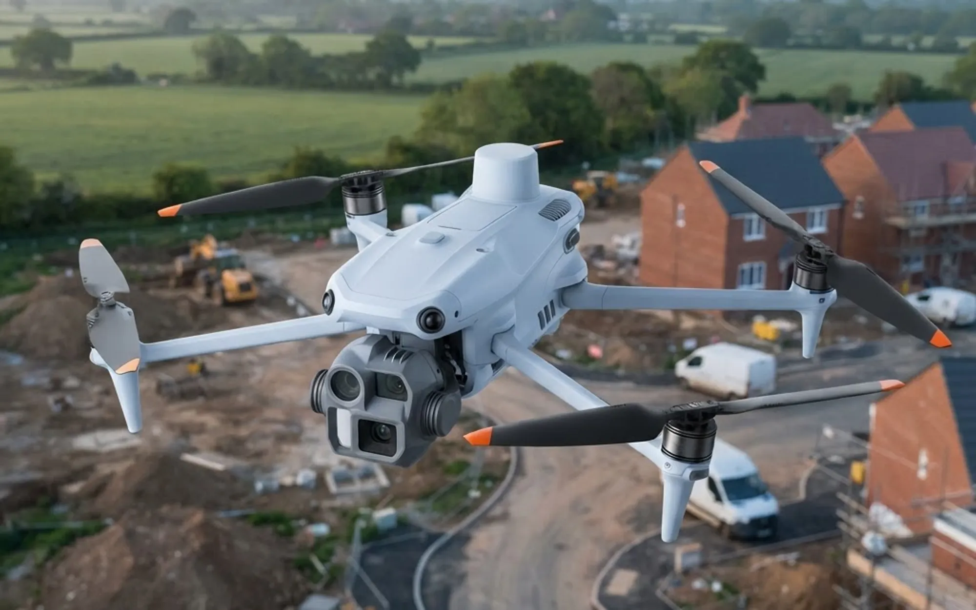
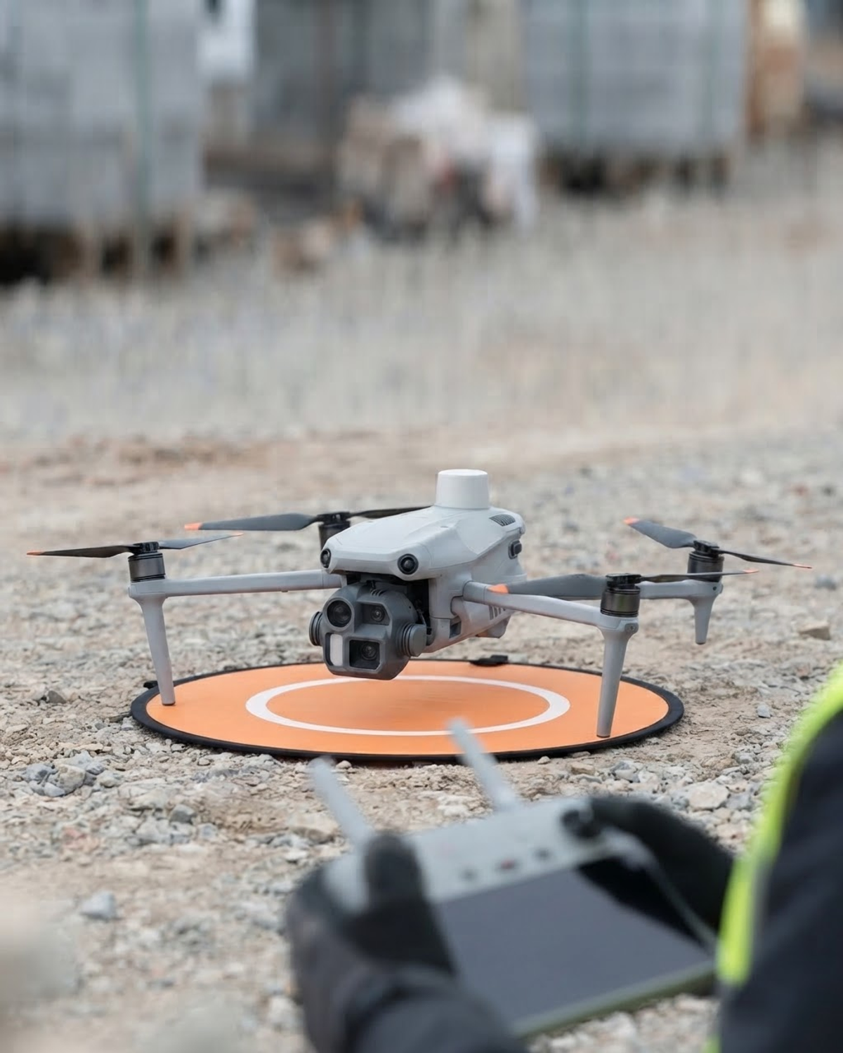
Mapping is flown on the DJI Matrice 4E, with RTK positioning available, and on the DJI Matrice 4T where thermal data is needed alongside visual imagery. Ground control and the coordinate system are agreed with you before we fly, so the data drops straight into your own software. See our drones for the full fleet, or construction monitoring and drone mapping for project programmes.
Who uses our survey data
Land surveyors and engineers
Base imagery, point clouds and terrain models for their own measured work.
Contractors and project managers
Progress comparison, earthworks and volumes across the programme.
Developers and planning consultants
Site context and mapping for planning and design.
Landowners and environmental teams
Repeatable records of estates, farmland and habitat sites.
Deliverables
What you receive
Orthomosaic maps and georeferenced imagery, point clouds, surface and terrain models, indexed and annotated condition image sets, and radiometric thermal images for analysis. Repeat captures from the same flight plan show change over time, and every file is supplied in formats agreed with you before the flight.
GeoTIFF
Orthomosaics and elevation
LAS
Point clouds
OBJ
3D models
JPEG / RAW
Condition imagery
RJPEG
Radiometric thermal
Agreed
Formats confirmed before the flight
AIRFRAME
We capture and supply
- 01Plan the flight and permissions
- 02Fly the capture
- 03Process, index and annotate
- 04Supply in your formats
YOUR PROFESSIONAL TEAM
What we do not do
We capture and annotate; we do not interpret. Airframe does not issue certified measured surveys, RICS surveys, structural reports or thermographic condition reports. That work stays with your surveyor, engineer or thermographer, who receives better aerial evidence to work from.
How it works
From enquiry to data
- STEP 01
Tell us about the site
Location, what you need to know and who will use the data. We confirm the right capture and deliverables.
- STEP 02
We plan the flight
Airspace, permissions, site access and risk assessment are handled by us, along with ground control and coordinate system where mapping needs them.
- STEP 03
We fly and capture
A CAA Registered Drone Operator flies a planned capture, in the right conditions for the survey type.
- STEP 04
You receive the data
Organised, named deliverables in the agreed formats, ready for your surveyor, engineer, thermographer or project team.
Why Airframe
Why commission your drone survey from Airframe
1. CAA Registered Drone Operator
Every survey is flown by a CAA-qualified pilot, with Airframe operating as a CAA Registered Drone Operator and fully within UK regulations.
2. Insured and risk assessed
Commercial drone insurance on every deployment, with a site-specific risk assessment and flight plan prepared before we arrive.
3. Enterprise survey aircraft
Survey capture is flown on DJI Matrice 4E and Matrice 4T enterprise platforms, not consumer drones with add-on cameras.
4. Built to sit alongside your team
We capture and supply the data. Interpretation and sign-off stay with your surveyor, engineer or thermographer, where the professional accountability belongs.
Coverage
Drone surveys near you
We cover Hampshire, Berkshire, Surrey, Wiltshire, Dorset, West Sussex and London as standard, from our base in Basingstoke, and carry out drone surveys elsewhere in the UK on request. Check your county on our coverage areas page, or see how we price survey work on our pricing page.
A drone survey is planned aerial capture of a site, building or piece of land: imagery, mapping data or thermal readings collected from the air instead of by people working at height or walking the ground. Airframe flies the capture and supplies the data in the formats you need.
Mapping and topographic data, construction progress surveys, roof and building condition capture, thermal surveys, land, farm and estate surveys, and property condition surveys. Each one has its own service page with more detail.
Yes. UAV stands for unmanned aerial vehicle, which is the term many surveyors, engineers and tender documents use for a drone. A UAV survey, an aerial survey by drone and a drone survey all describe the same planned aerial capture.
Mostly for construction and land projects: site planning, earthworks and volume calculations, comparing progress between visits, and giving a land surveyor or design team accurate base imagery and terrain data. The same capture also gives a dated visual record of the site.
Mapping work is flown on the DJI Matrice 4E, with RTK positioning available. Where thermal data is needed alongside visual imagery we use the DJI Matrice 4T, which carries a 640x512 radiometric thermal sensor. Both are enterprise aircraft rather than consumer drones.
No. We capture survey-grade data and annotated imagery. Interpretation, measurement sign-off, certification and condition reports stay with your surveyor, engineer or thermographer.
Yes. We plan and fly the capture and supply orthomosaics, point clouds, surface and terrain models and georeferenced imagery. Ground control, coordinate system and file formats are agreed with you before the flight.
We are based in Basingstoke and cover Hampshire, Berkshire, Surrey, Wiltshire, Dorset, West Sussex and London as standard. Drone surveys elsewhere in the UK are available on request, particularly for larger or multi-site programmes.
It depends mainly on the size of the site and the deliverables you need, so we quote each survey individually. Our pricing page explains how our day rates and specialist deployments are structured.
Start your mission
Tell us about your site
Share the location and what you need to know, and we will recommend the right survey and deliverables.