Airframe · Drone mapping
Drone Mapping Services for construction, land and estates
Airframe provides drone mapping, also called UAV mapping, across Southern England and London. We fly a planned grid over your site and process the images through photogrammetry into orthomosaic maps, terrain and surface models, contours, point clouds and 3D models you can measure from.
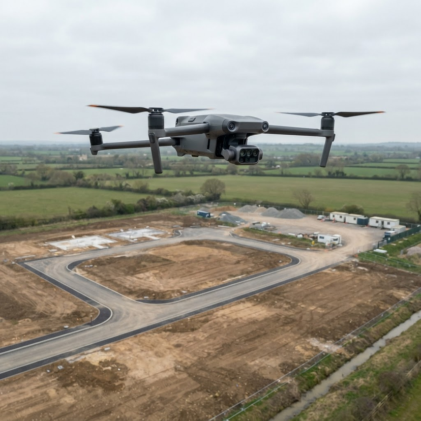
Flown by a CAA Registered Drone Operator on the DJI Matrice 4E, with RTK positioning available. We capture and process the data; certified surveys stay with your surveyor.
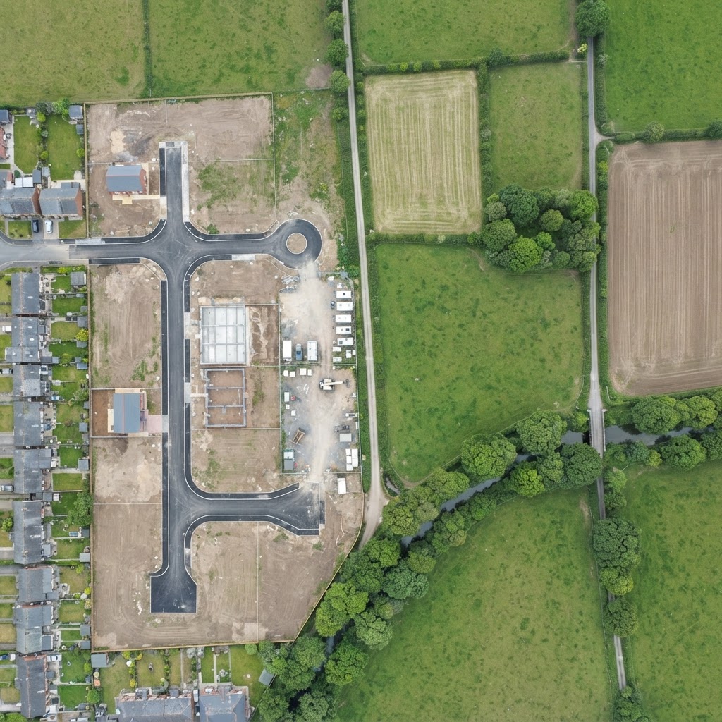 Illustrative layers, not survey data
Flight lines: The pre-programmed grid the drone flies, with heavy overlap along and between lines so every point is seen from several angles.
- Orthomosaic: One scale-correct map stitched from hundreds of overlapping photographs, corrected for camera tilt and terrain.
- Flight lines: The pre-programmed grid the drone flies, with heavy overlap along and between lines so every point is seen from several angles.
- Ground control: Marked points measured on the ground that tie the map to your coordinate system and let its accuracy be checked.
- Contours: Lines of equal height generated from the terrain model at an interval agreed for the job.
- Elevation: A surface model showing the height of the ground and everything on it, used for levels, falls and volumes.
- CAA Registered Drone Operator
- Fully insured
- RTK positioning available
- Southern England and London
Outputs
What drone mapping produces
Every output is georeferenced, so it lines up with your drawings, plans and other survey data in the same coordinate system. We agree formats, coordinate system and contour interval before we fly.
Where it is used
Drone mapping for construction, land and estates
The process is the same wherever we fly; what changes is what the map needs to show and who will use it. Choose the work closest to yours.
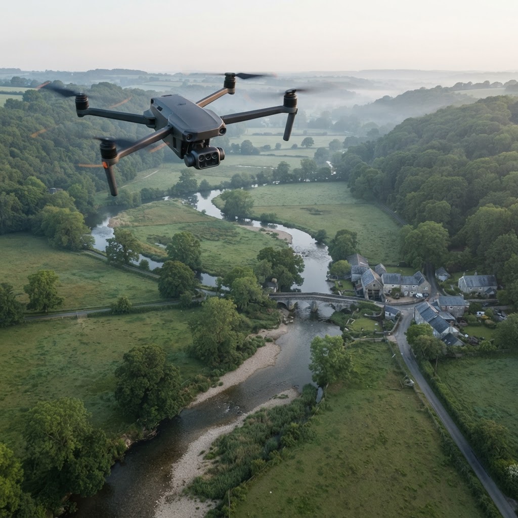
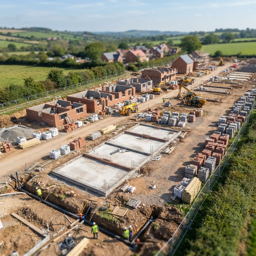
- Construction and developmentBaseline mapping before work starts, then repeat flights for progress, earthworks and volumes.Construction mapping and monitoring
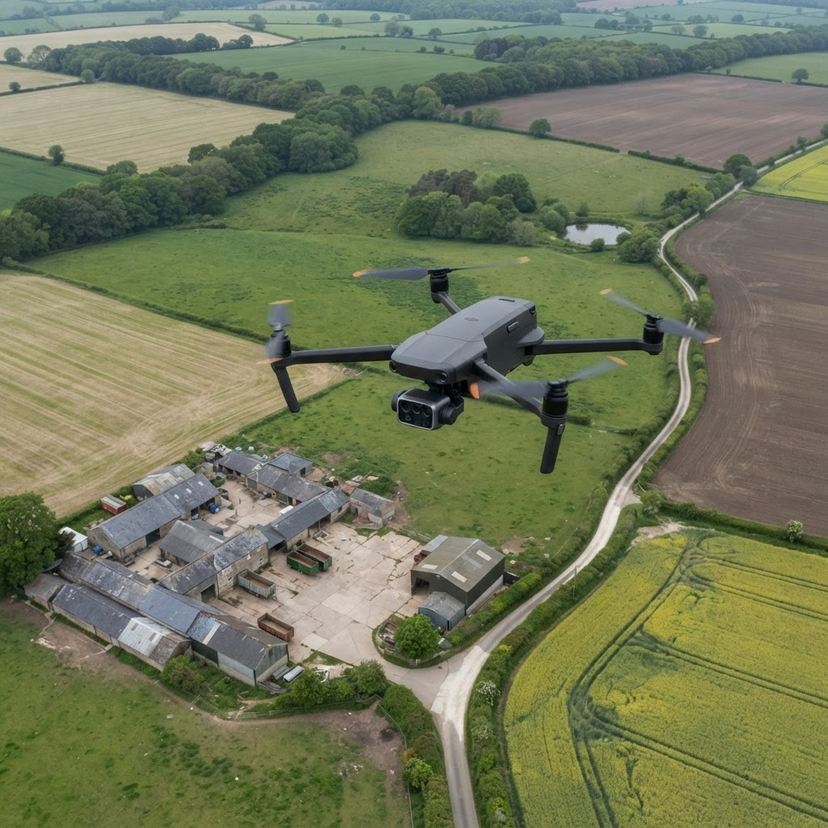
- Land, farms and estatesRepeatable aerial records and maps of farmland, woodland, watercourses and estate land.Agricultural and land monitoring
- Land surveyors and design teamsWe fly and process the capture and supply mapping data for your own survey or design work.Drone data for land surveyors
- Developers and agentsSite context, plot overviews and current aerial maps for appraisal, planning and sales.Property and development
How it works
How a drone mapping job runs
01
Plan
Boundary, outputs, coordinate system, flight height, overlap and ground control agreed for the job.
02
Fly
A pre-programmed grid flown by a CAA-qualified pilot who monitors the aircraft, airspace and site.
03
Process
Photogrammetry matches features across the images and builds the site in two and three dimensions.
04
Check
The model is tied to ground control or RTK positioning and compared against independent checkpoints.
05
Deliver
Outputs exported in the formats and coordinate system your software uses.
Choosing a method
Drone mapping, ground survey or satellite imagery?
Each has its place, and many projects use more than one. In general terms:
Accuracy
What sets the accuracy of a drone map
Illustrative diagram, no figures
Ground sample distance
Set by flight height and camera: lower flights see finer detail but need more images.
Overlap
More overlap means every point is matched across more photographs.
Ground control and RTK
Ties the model to your coordinate system and lets it be checked.
Processing and checks
Independent checkpoints show how closely the model matches the ground.
We do not quote a blanket accuracy figure; we agree the approach with you to suit how the data will be used.
Standards and equipment
CAA Registered Drone Operator
Every mapping flight by a CAA-qualified pilot.
Insured and risk assessed
Commercial drone insurance and a site-specific risk assessment on every job.
DJI Matrice 4E
Enterprise mapping aircraft with a mechanical shutter camera and RTK positioning available.
Capture, not certification
Your surveyor or engineer interprets and signs off; we supply the data.
New to mapping? Read what is aerial mapping or what is a topographical survey. Need every type of survey in one place? See drone surveys. We cover Hampshire, Wiltshire, Berkshire, Surrey, West Sussex, Dorset and London as standard; see our coverage areas.
FAQ
Drone mapping questions
Drone mapping uses a drone flying a planned grid to take overlapping, high resolution photographs, which photogrammetry software turns into measurable maps and models: orthomosaics, surface and terrain models, contours, point clouds and 3D models.
Drone survey is the wider term and covers inspections, thermal capture and photography as well as mapping. Drone mapping is the measured part: georeferenced maps and models you can take distances, areas, heights and volumes from.
Orthomosaics and elevation models as GeoTIFF, point clouds as LAS and 3D models as OBJ, plus contours and volume data. Formats, coordinate system and contour interval are agreed with you before we fly.
It depends on the ground sample distance set by flight height and camera, the image overlap, the ground control and positioning used, and the processing. We agree these before the flight to suit how the data will be used and check the result against independent checkpoints, so we do not quote one figure for every job.
Yes. As well as construction and development sites, we map and record farmland, woodland, watercourses and estate land for landowners, land agents and environmental projects.
No. We capture and process survey-grade data. Interpretation, measurement sign-off and certification stay with your surveyor or engineer, and we can supply our data directly to them.
Yes. Repeat flights follow the same plan, so every map is directly comparable with the last. That suits construction programmes, land monitoring and any site where you need to see change over time.
Yes. Airframe is a CAA Registered Drone Operator, every pilot is CAA-qualified, every flight is risk assessed, and we carry commercial drone insurance.
We are based in Basingstoke and cover Hampshire, Wiltshire, Berkshire, Surrey, West Sussex, Dorset and London as standard, with the wider Home Counties and nationwide work available on request.
Prefer to talk it through? Get in touch.
LET'S TALK ABOUT YOUR PROJECT
Ready to Monitor
Your Project?
From residential developments and commercial builds to civil engineering and public sector construction, Airframe provides reliable aerial monitoring and mapping that gives your project team the visibility it needs from day one.
Tell us about your project and we will come back to you with a programme proposal. No obligation. No pressure. Just a straightforward conversation about what works for your site.