QUESTIONS ANSWERED · AIRFRAME CONSTRUCTION
How Much Does a Drone Survey Cost?
By Ben Price, Managing Director, Airframe Drone Services
There is no single price for a drone survey. The cost depends on the size and complexity of the site, the outputs you need, the accuracy and ground control required, and how many visits the project needs. Airframe quotes each survey against your brief, so you pay for the data your project will actually use.
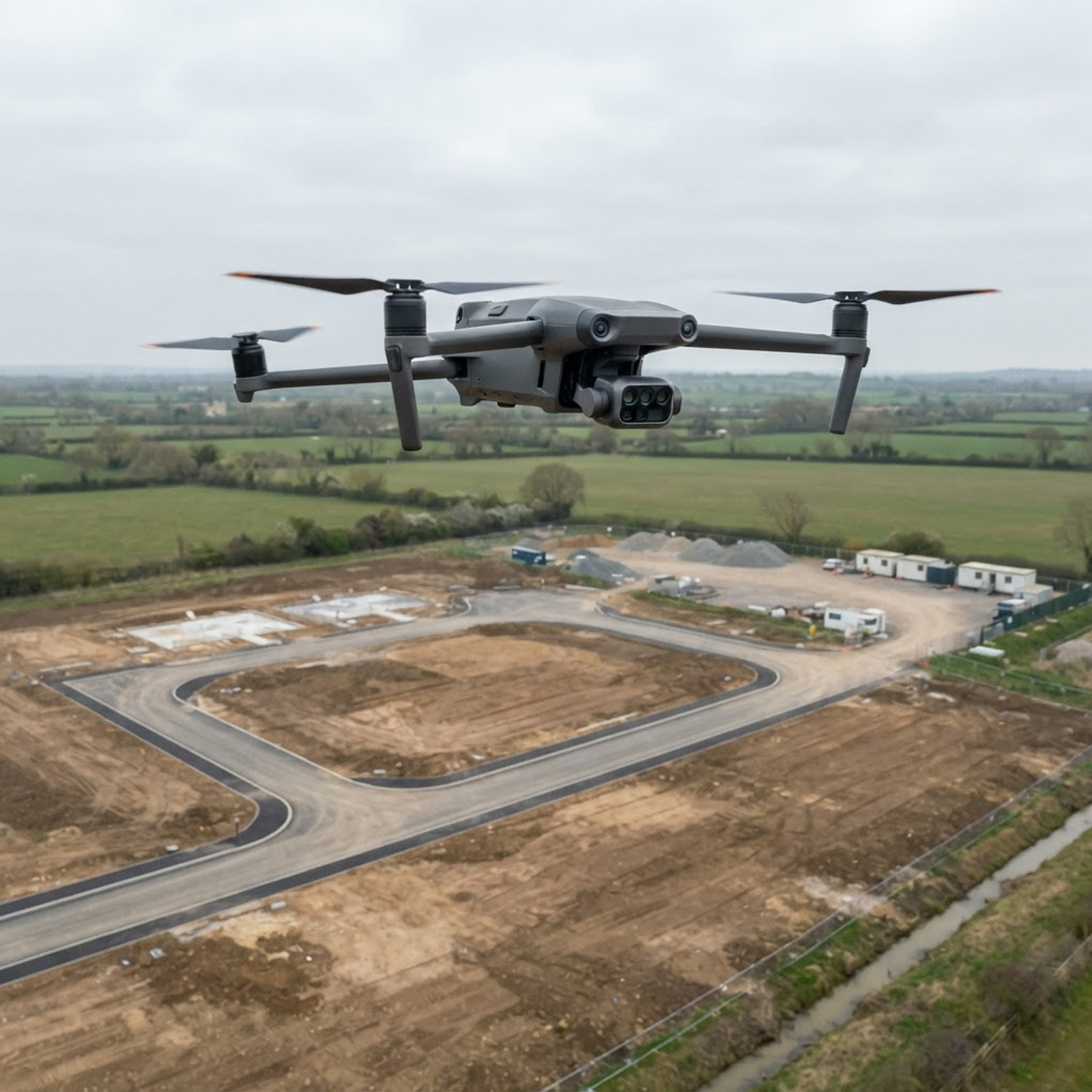
Search for drone survey costs and you will find answers that rarely match one another. That is because a drone survey is not one product. A set of progress photographs, a measured orthomosaic and a terrain model tied to ground control are very different jobs, even if the same aircraft flies all three.
This guide explains what actually drives the cost of drone mapping and drone land surveying, why processing is a large part of the work, how costs behave over a long construction programme, and what to send us so we can prepare an accurate quotation.
What Influences the Cost of a Drone Survey?
Every quotation starts from the same handful of questions. The answers decide how long the job takes on site, how much processing it needs and what kind of deployment it is.
| Cost factor | Why it changes the price |
|---|---|
| Site size and shape | Larger or irregular sites need more flight lines, more images and more processing |
| Outputs required | Progress photographs are quicker to deliver than an orthomosaic, terrain model, contours or point cloud |
| Accuracy and ground control | Tighter accuracy means a lower flight, more images and ground control points laid and measured |
| Site complexity and access | Steep ground, tall structures, live plant and restricted take-off areas take more planning and time |
| Airspace and permissions | Sites near airfields, roads or busy public areas can need extra planning and permissions |
| Number of visits | A one-off survey is priced differently from a programme of repeat visits |
| When we fly | Evening, weekend and bank holiday flights are planned and quoted differently from business hours |
| Location | Travel from our Basingstoke base is factored into the quote |
Regulatory planning is included in every job rather than added as an extra: a site-specific risk assessment, airspace checks and flight planning happen before any survey flight.
The Role of Data Processing in Survey Pricing
Flight time is often the smaller part of a mapping job. Hundreds of overlapping images have to be checked, processed through photogrammetry software, tied to ground control and checked against independent checkpoints before anything is delivered.
The deliverables then have to be prepared for the software your team uses: orthomosaics and elevation models as GeoTIFF, point clouds as LAS and 3D models as OBJ, in the coordinate system and contour interval agreed for the job. A survey that arrives in the wrong format or datum costs time to fix, so we agree these before we fly rather than after.
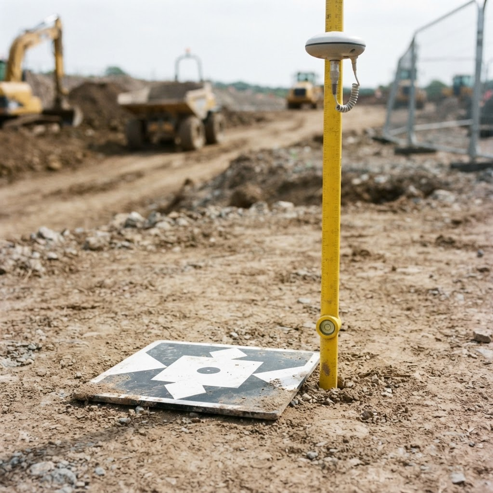
Construction Monitoring: Scaling Costs for Long-term Projects
On a construction project, the first survey sets the baseline and later visits record progress against it. Because each visit repeats the same flight plan, the set-up work is done once and later visits are simpler to plan, which makes a monitoring programme easier to budget than a series of one-off bookings.
- Match the visit frequency to the programme: more often during groundworks and earthworks, less often during fit-out.
- Decide which visits need measured outputs, such as volumes, and which only need progress photography.
- Keep the same viewpoints and outputs each time, so every visit is directly comparable with the last.
See how this works in practice on our construction monitoring and drone survey page.
How Airframe Quotes Drone Surveys
Every survey is quoted against a written brief rather than a one-size-fits-all figure. The quotation sets out the type of deployment, the time on site, the processing and the deliverables, so you can see exactly what you are paying for.
Measured mapping and photogrammetry outputs need specialist equipment, ground control and processing, while progress photography and video for construction monitoring are simpler to capture and deliver. If you are comparing quotations, compare what is delivered, not just the headline figure. Contact us for a quotation.
Why Quality and Compliance Protect Your Investment
A survey that has to be repeated costs far more than one done properly the first time. Data that is not tied to ground control, is in the wrong coordinate system or was captured without permission to fly can cost far more to put right than it ever saved.
- Airframe is a CAA Registered Drone Operator and every pilot is CAA-qualified.
- Every survey has a site-specific risk assessment and commercial drone insurance in place.
- Mapping is flown on the DJI Matrice 4E, with RTK positioning available.
- We capture and process survey-grade data. Interpretation and certified measured surveys stay with your surveyor or engineer, so budget for their sign-off where your project needs it.
Getting an Accurate Quote for Your Project
The more we know up front, the more precise the quote. Send us as much of the following as you can.
- Site address or postcode, and a boundary plan or rough outline of the area.
- The outputs you need and the software they will go into.
- Any accuracy requirement, coordinate system or existing ground control.
- One visit or a programme, and roughly how often.
- Your deadline and any site rules, inductions or access restrictions.
We work across Southern England, London and the Home Counties from our base in Basingstoke, Hampshire, and further afield on request. Tell us about your site and we will come back with a quote and any questions.
TALK TO AIRFRAME
Discuss your project with Airframe.
RELATED INSIGHTS
Keep reading
QUESTIONS ANSWERED · CONSTRUCTION
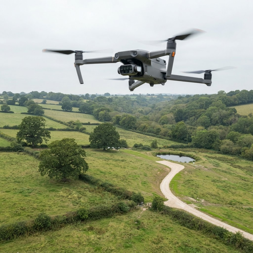
What is a Topographical Survey?
A topographical survey records the levels, features and boundaries of a site. This guide explains what one includes, when you need it, and how drones and photogrammetry now capture the data.
15 Nov 2026 · 7 min readRead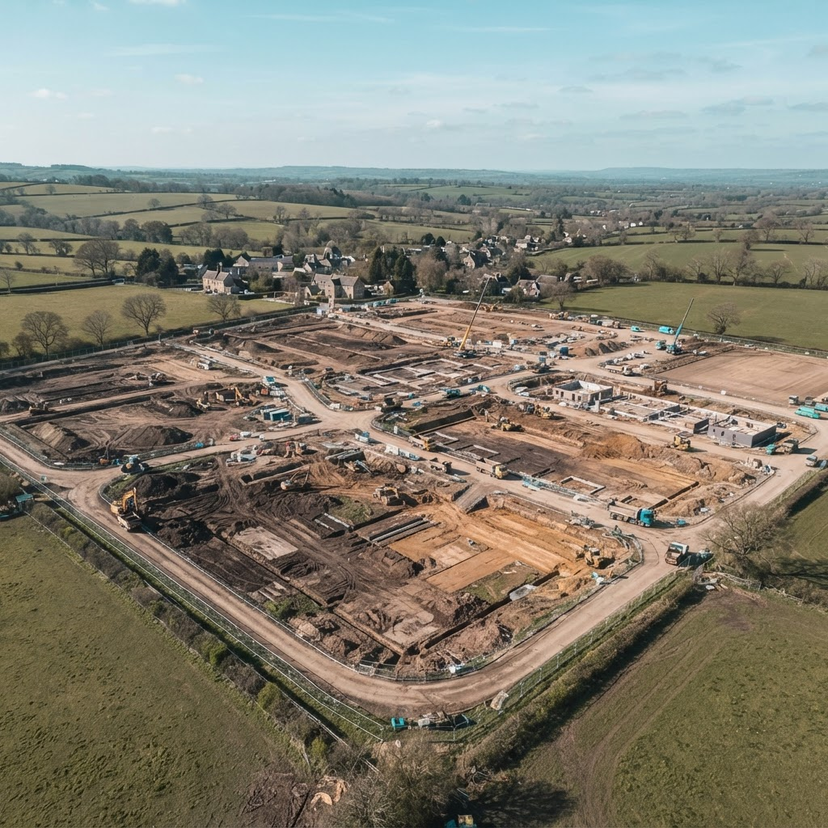
INDUSTRY APPLICATIONS · CONSTRUCTION
Using 3D Photogrammetry for Volumetric Analysis on Construction Sites
Using drone-based 3D photogrammetry allows construction teams to generate accurate volumetric measurements and terrain models, providing essential spatial data for site management.
1 Nov 2026 · 2 min readRead
GUIDES & KNOWLEDGE · CONSTRUCTION
Structuring an Effective Aerial Monitoring Programme for Construction
Establishing a formal aerial monitoring programme provides consistent, actionable visual intelligence throughout the construction lifecycle. This guide outlines how to align flight schedules with reporting cycles, manage site safety, and ensure data integrity for project stakeholders.
28 Oct 2026 · 6 min readRead