Airframe Digital · Photography
Commercial drone photography
Airframe provides commercial drone photography across Hampshire, Southern England and London: high resolution aerial stills of property, sites, venues and events for marketing, sales and project records.
Every shoot is planned and flown by a CAA Registered Drone Operator and delivered edited, in the sizes you need. Need video too? See drone videography and aerial filming.
- CAA Registered Drone Operator
- Insured by Coverdrone
- Edited and ready to use
- Southern England and London
Aerial photography services
What we photograph
Aerial stills show what ground photography cannot: the whole site, its setting and how everything fits together. These are the subjects our business clients book most.
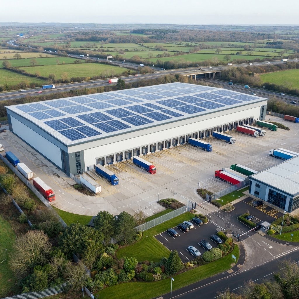
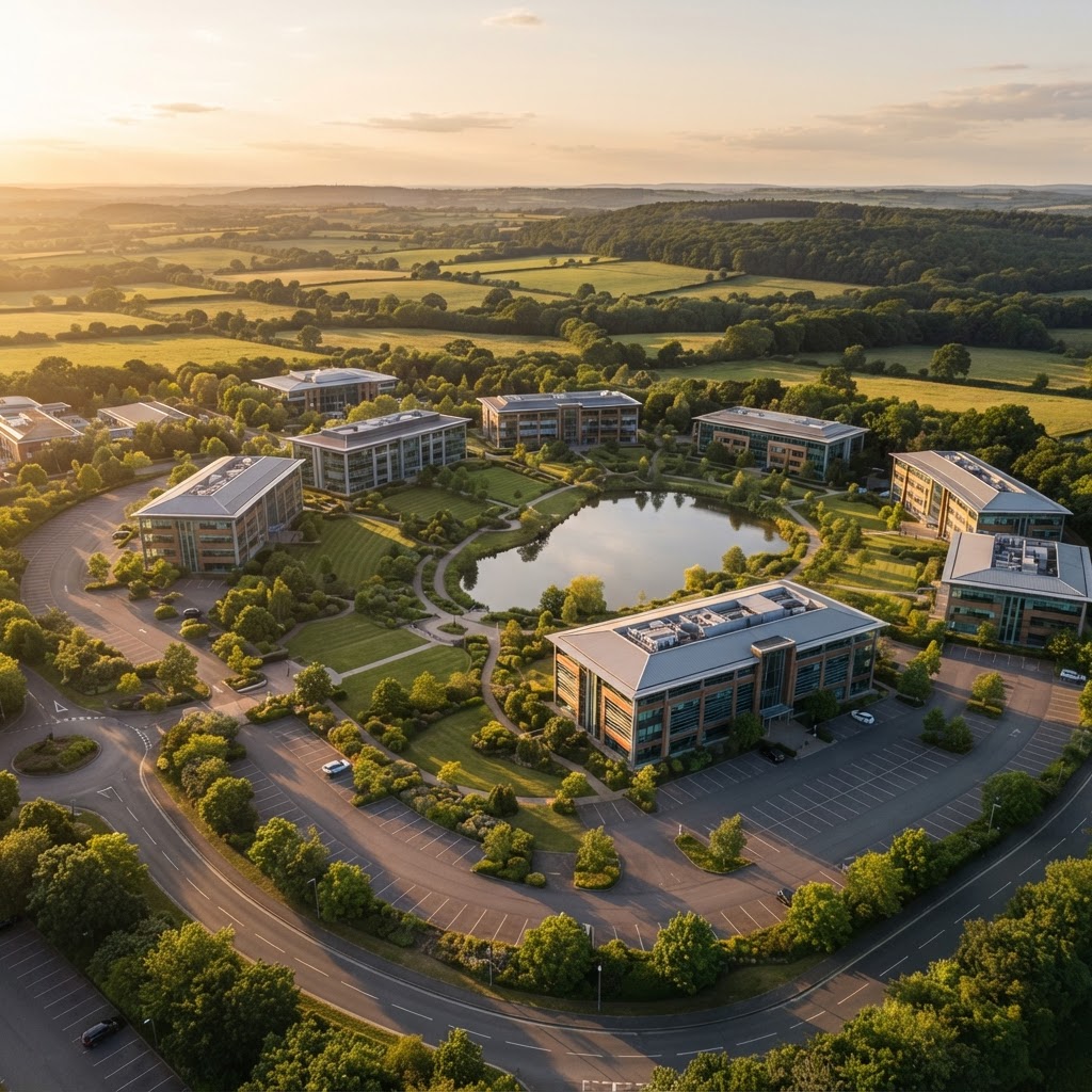
Commercial property and facilities
Offices, warehouses, retail and industrial sites shown with their access, parking and setting.
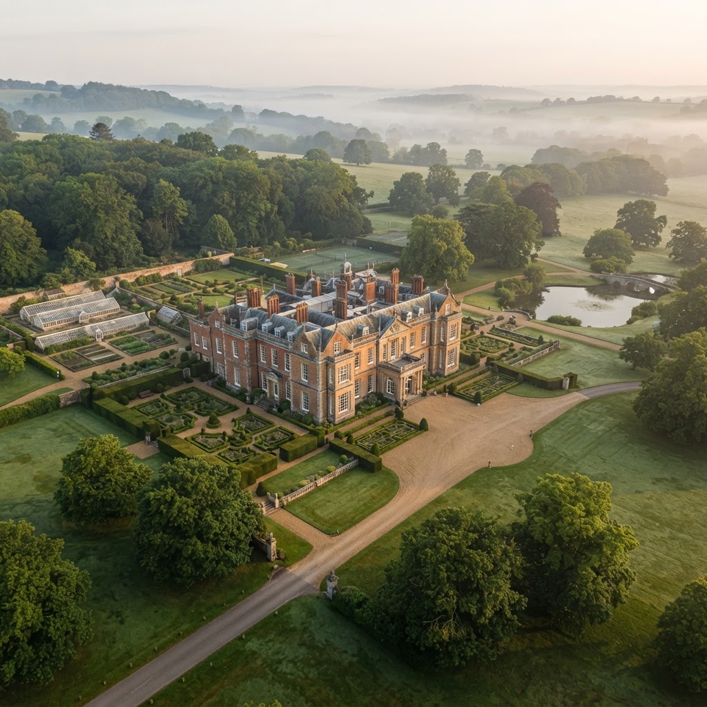
Hotels, estates and venues
Grounds, gardens and buildings for marketing, brochures and websites.
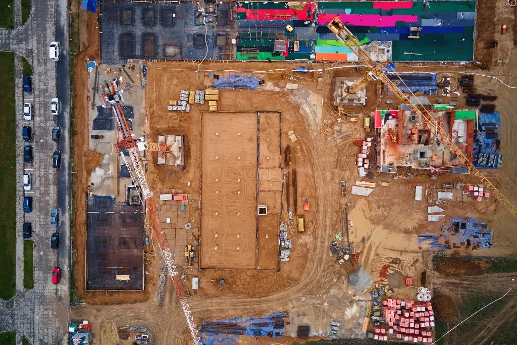
Construction and development
Progress stills, site overviews and completion photography.
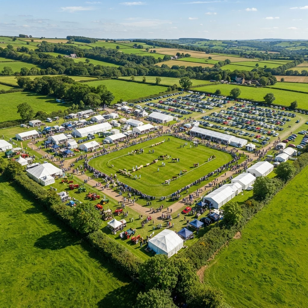
Events
The scale and layout of festivals, shows and corporate events.
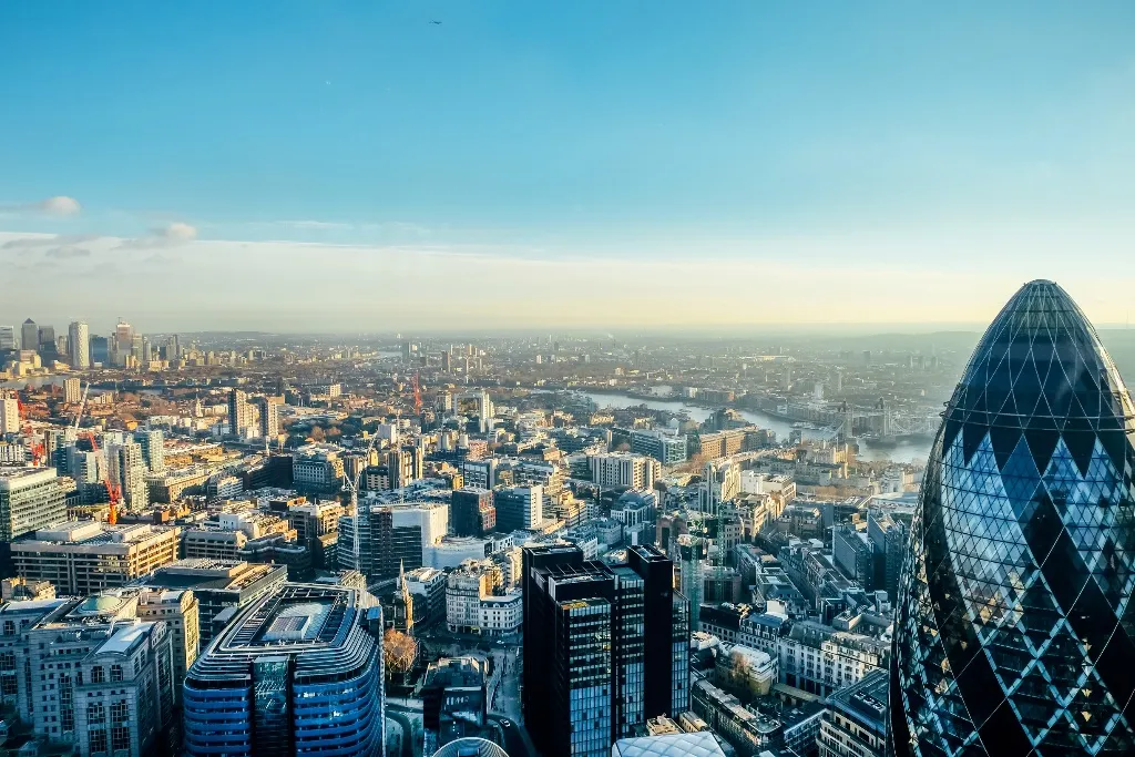
Towns, landmarks and tourism
Locations and destinations for promotion and editorial use.
Commercial drone photography
Four angles, chosen for the job
The angle decides what a photograph says. We plan the mix before we fly, based on where the images will be used and what they need to show.
01
Top-down
Best for layouts, roofs, site plans and progress records.
02
High oblique
Best for a whole site in its setting, with access and surroundings.
03
Low oblique
Best for buildings and frontages that look like a building, not a map.
04
Panorama
Best for wide views of an estate, town or landscape from one point.
Angle diagrams illustrative
Aerial photography survey
Aerial photography surveys
An aerial photography survey is a planned, systematic set of stills that covers a whole site rather than a few hero shots. It gives estates, facilities teams, developers and insurers a visual record they can share, file and compare over time.
- Overhead and oblique views from every side
- Each image referenced by position and date
- Repeatable viewpoints for comparison over time
- Organised by area so anyone can find a frame
Need measurable maps, levels or volumes rather than photographs? See drone topographical surveys or all drone surveys.
What you receive
Edited, sized and ready to use
Every image is edited before delivery: exposure balanced, verticals straightened and colour corrected. You get the files in the sizes your website, print and social channels need, so nothing has to be reworked.
- 01Edited stillsColour corrected, straightened and ready to use
- 02Full resolution JPEGFor print, brochures and large displays
- 03Web and social sizesExported for your site and platforms
- 04RAW filesAvailable on request for your own editing
- 05Online galleryPassword protected for review, selection and download
Fully managed
How a drone photography shoot runs
01
Brief
What you need to show, where it will be used and the shots that matter most.
02
Plan
Airspace checks, permissions, site risk assessment and the best light for the subject.
03
Shoot
A CAA-qualified pilot flies the planned angles and covers the extras worth having.
04
Deliver
Edited stills in the sizes you need, through a secure online gallery.
CAA Registered Drone Operator
Every shoot flown by a CAA-qualified pilot.
Insured
Commercial drone insurance through Coverdrone.
Risk assessed
Site specific risk assessment and flight plan.
DJI enterprise fleet
Professional DJI aircraft chosen for the job.
Hampshire and beyond
Drone photography across Southern England
We are based in Basingstoke and photograph sites across Hampshire, Berkshire, Surrey, Wiltshire, West Sussex, Dorset and London, with work further afield on request.
FAQ
Drone photography questions
High resolution aerial stills taken by a drone for business use: marketing, property, construction records, events and reports. Airframe plans and flies each shoot as a CAA Registered Drone Operator and delivers edited images ready to use.
A systematic set of overhead and oblique photographs covering a whole site, with each image referenced by position and date. It gives estates, facilities and project teams a visual record they can share and compare over time. For measurable maps and models, see our drone topographical surveys.
Edited and ready to use, in full resolution for print and in web and social sizes, through a password protected online gallery. RAW files are available on request.
Yes. Drone videography, FPV filming, 360 flyovers and event filming are covered on our aerial media page, and many shoots capture stills and video in the same visit.
Yes. Airframe is a CAA Registered Drone Operator and every pilot is CAA-qualified for commercial work. Each shoot follows a site specific risk assessment and flight plan.
Yes. Every operation is covered by commercial drone insurance through Coverdrone, and documentation is available on request.
From our base in Basingstoke we cover Hampshire, Berkshire, Surrey, Wiltshire, West Sussex, Dorset and London as standard, with work further afield on request.
It depends on the location, the number of subjects and what you need delivered, so we quote each shoot. Our pricing page explains how our day rates are structured.
Back to aerial media, or get in touch.
Ready to elevate
your content?
From 360 flyovers and commercial campaigns to events and broadcast productions, Airframe delivers professional aerial content that captures attention and drives results.
Tell us about your project and we will come back to you with a clear approach, a realistic timeline, and a straightforward price.