Airframe · Roof surveys
Commercial Drone Roof Surveys
Airframe carries out drone roof surveys on commercial buildings across Southern England and London: membrane, felt, metal and pitched roofs captured close up, with radiometric thermal imaging where you need it. No scaffolding, no access platforms and nobody working at height.
You receive an indexed, referenced image set of the whole roof for your surveyor, roofer or facilities team to assess. We capture and annotate; we do not issue condition reports.
- CAA Registered Drone Operator
- Fully insured
- Visual and thermal capture
- Southern England and London
Roof types
What a commercial roof survey covers
Every roof type has its own weak points. Choose a roof to see what we capture and why a drone helps.
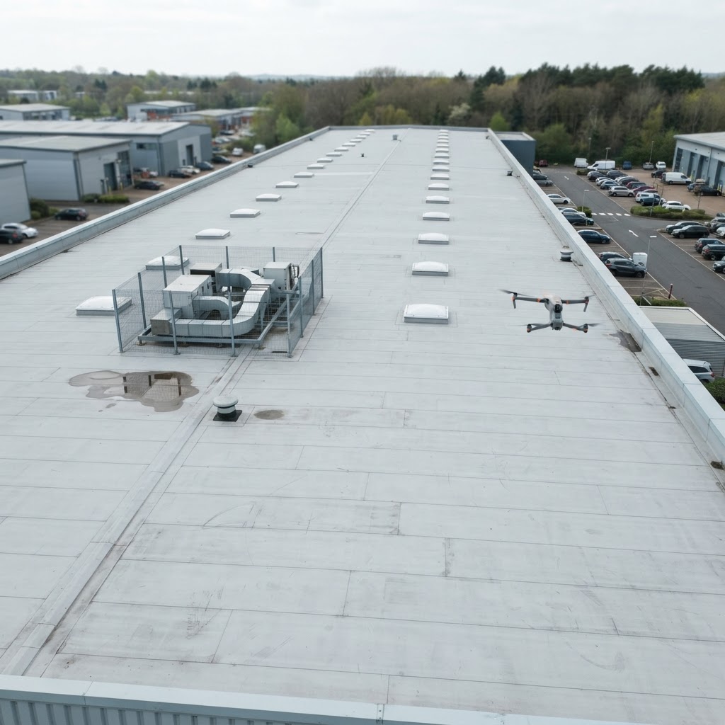
Single-ply membrane
Common on warehouses, offices and schools. Large, flat and hard to see from the ground.
WHAT WE CAPTURE
- Laps and seams across the whole membrane
- Outlets, gutters and areas where water sits
- Upstands around plant, rooflights and edges
- Parapets and coping joints
Every square metre is captured from above in one visit, without anyone walking the roof.
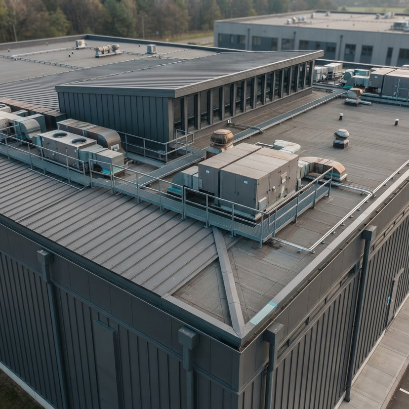
Built-up felt and asphalt
Older commercial and public buildings, often with several generations of repairs.
WHAT WE CAPTURE
- Surface condition, blistering and cracking
- Previous patch repairs and their edges
- Outlets, flashings and upstands
- Areas where water collects after rain
Repairs are mapped in one consistent image set, so your roofer can see the whole history at once.
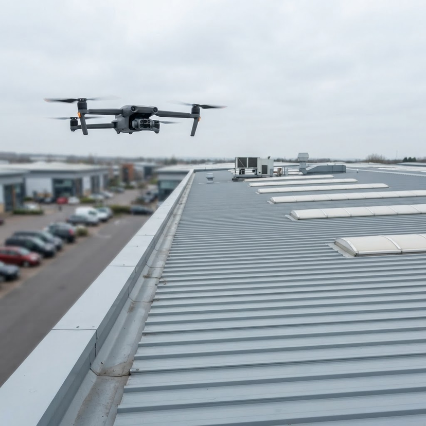
Profiled metal and rooflights
Industrial units and distribution sheds with long runs of sheeting and rooflights.
WHAT WE CAPTURE
- Sheet laps, fixings and cut edges
- Rooflights and their surrounds
- Valley and boundary gutters
- Roof-mounted plant and penetrations
Rooflights and some sheeting can be fragile underfoot; the drone captures them without anyone standing on the roof.
Pitched tile and slate
Office conversions, schools, churches, care homes and mixed estates.
WHAT WE CAPTURE
- Tiles and slates on every slope
- Ridges, hips and valleys
- Chimneys and lead flashings
- Gutters, downpipes and fascias
Steep and high slopes are seen close up without scaffolding or a cherry picker.
Why use a drone
Drone roof surveys compared with traditional access
A drone replaces the access, not the expertise. It gets close to every part of the roof so your surveyor or roofer can judge condition from clear evidence.
If repairs are needed, the contractor will still need access to carry them out, but can plan and price that work from the imagery rather than guesswork.
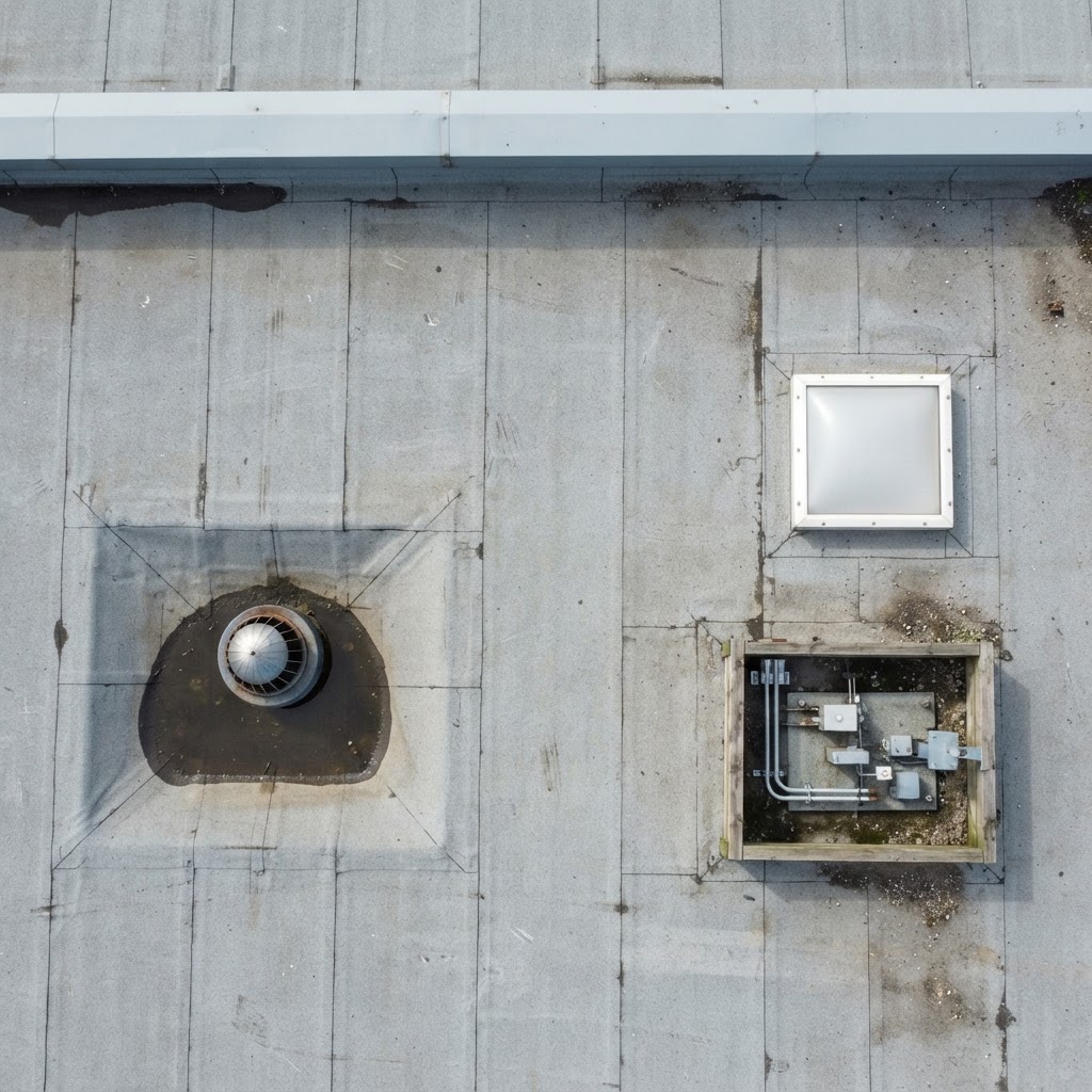
Visual and thermal
Close-range detail, and thermal where it helps
Visual capture shows seams, outlets, upstands, rooflights and repairs close enough for your surveyor to judge them. Every image is referenced to its position, so any area can be found again on the roof.
On flat roofs, radiometric thermal capture records temperature patterns consistent with trapped moisture under the membrane, and heat loss, for a thermographer or surveyor to interpret. It is flown after sunset or before sunrise, once solar gain has left the roof, and depends on the weather.
See thermal imaging surveys for how thermal capture works.
Planned maintenance
Planning commercial roof maintenance with drone surveys
Roofs rarely fail all at once. A blocked outlet, a lifting lap, a slipped slate or a split flashing usually starts small and cannot be seen from the ground. By the time water shows inside, it has often travelled from somewhere else, so the problem is found late and is harder to trace.
For roof maintenance, regular drone roof surveys give you a consistent picture of every roof you are responsible for. Repeat visits capture the same positions each time, so you can see whether earlier repairs have held and whether anything is getting worse, and keep a dated record for budgets, insurers and lease conversations.
WHEN CLIENTS TYPICALLY COMMISSION A SURVEY
- After severe weather or a reported leak
- Before a lease event, acquisition or disposal
- Before a planned refurbishment or reroofing
- As part of an annual planned maintenance cycle
How often a particular roof should be surveyed is a judgement for your surveyor or roofer. For several buildings on a schedule, see managed drone programmes.
Illustrative maintenance cycle
01 · Survey Airframe
Close-range capture of the whole roof, referenced to position.
02 · Assess Your surveyor or roofer
Reviews the imagery and identifies what needs attention.
03 · Prioritise You
Decide what to repair now, monitor or budget for later.
04 · Repair and re-survey Contractor, then Airframe
Work is done, then the same positions are captured again.
Who it is for
Roof surveys for the people responsible for the roof
Facilities and estates teams
Planned maintenance across one building or a portfolio, with a consistent record each time.
Building surveyors
Close-range evidence of the whole roof for your own assessment and report.
Roofing contractors
See the roof before you price, plan access or schedule repairs.
Owners, landlords and developers
Condition records before a purchase, a lease event or a refurbishment.
How it works
How a roof survey runs
01
Brief
The buildings, roof types, any known problems and how the imagery will be used.
02
Plan
Airspace checks, permissions, a site-specific risk assessment and the right conditions for any thermal work.
03
Capture
A CAA-qualified pilot flies planned close-range capture of every roof area and detail.
04
Deliver
An indexed, referenced image set with points of interest marked, delivered digitally.
CAA Registered Drone Operator
Every flight by a CAA-qualified pilot.
Insured
Commercial drone insurance on every operation.
Risk assessed
A site-specific risk assessment and flight plan for every job.
Capture, not reports
Your surveyor or roofer interprets; we supply the evidence.
Surveying a house or a residential portfolio? See drone property surveys. For bridges, masts, solar and other assets, see drone inspections.
FAQ
Roof survey questions
A drone roof survey is planned, close-range aerial capture of a roof and its details: coverings, seams, outlets, gutters, upstands, rooflights, flashings and plant. The images are indexed and referenced so your surveyor, roofer or facilities team can assess condition without scaffolding or anyone working at height.
It replaces the access, not the expertise. The drone gathers the evidence; a qualified surveyor or roofing contractor still interprets it and decides what work is needed. We capture and annotate; we do not issue condition reports.
Single-ply membrane, built-up felt and asphalt, profiled metal with rooflights, and pitched tile and slate, on warehouses, industrial units, offices, schools and mixed estates.
Radiometric thermal capture records temperature patterns consistent with trapped moisture under membranes, and heat loss, for a thermographer or surveyor to interpret. It is flown after sunset or before sunrise, once solar gain has left the roof surface, and depends on the weather.
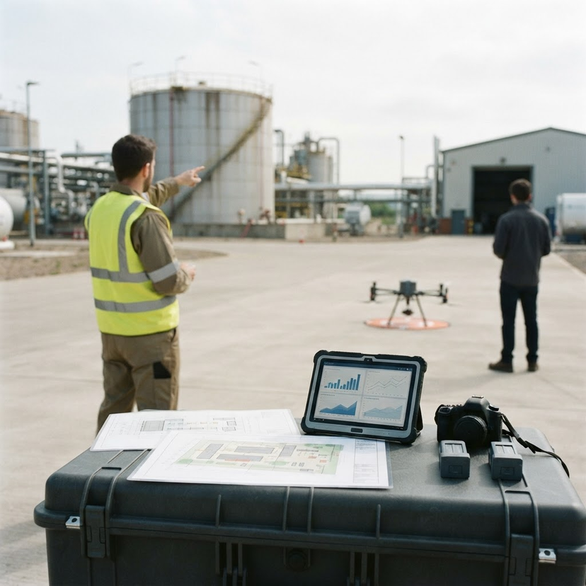
You do not need to be there yourself, but we need site access and permission to fly, and a contact who can tell us about operations and any restrictions on the day. Every flight is planned and risk assessed in advance.
An organised, indexed and labelled image set, georeferenced so each area can be found again, with points of interest marked. Video and thermal imagery are added where they were part of the brief.
Yes. A first visit sets a visual baseline, and later visits repeat the same capture so changes are easy to compare. That suits planned maintenance across a single building or a whole portfolio, with the record showing whether earlier repairs have held.
Yes. Airframe is a CAA Registered Drone Operator, every pilot is CAA-qualified and every operation is covered by commercial drone insurance.
We are based in Basingstoke and cover Hampshire, Wiltshire, Berkshire, Surrey, West Sussex, Dorset and London as standard, with the wider Home Counties and nationwide work available on request.
Prefer to talk it through? Get in touch.
LET'S BUILD YOUR PROJECT
Ready to capture
smarter?
From commercial buildings and infrastructure to energy assets and critical facilities, Airframe captures the aerial imagery your team needs to inspect, monitor, and manage assets with confidence.
Tell us about your project and we will come back to you with a clear approach and a straightforward price.